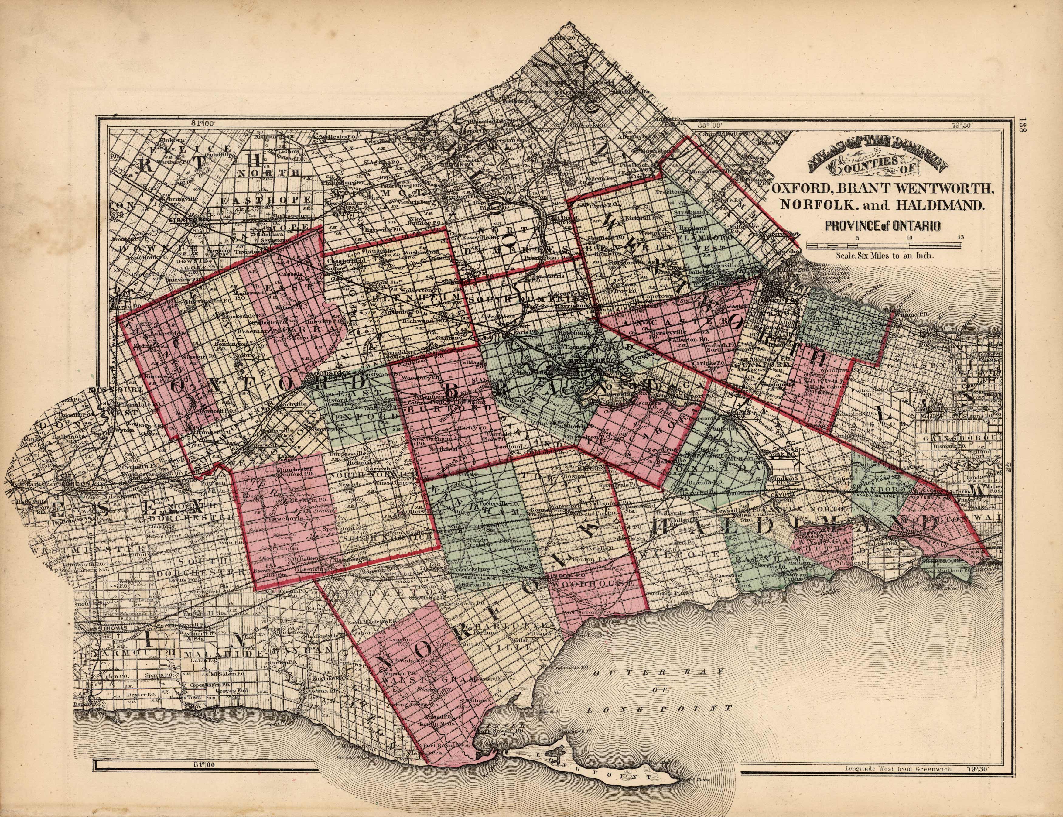
Counties of Oxford, Brant, Wentworth, Norfolk and Haldimand- Province of Ontario
Out of stock
H. F. Walling made the maps in “Tackaburys Atlas of the Dominion of Canada” in 1875. These detailed, hand colored county maps show the names of counties and cities, rivers, lakes, important landmarks and the names of major land owners. The counties of Oxford, Brant, Wentworth, Norfolk and Haldimand are illustrated on this beautiful pastel map.
Size: 105 x 16.5 inches
Condition: Very Good-age toning, minor foxing
Map Maker: H. F. Walling, C. E.
Coloring: Original Hand Color
Year: 1875
Condition: Very Good-age toning, minor foxing
Map Maker: H. F. Walling, C. E.
Coloring: Original Hand Color
Year: 1875
Out of stock


