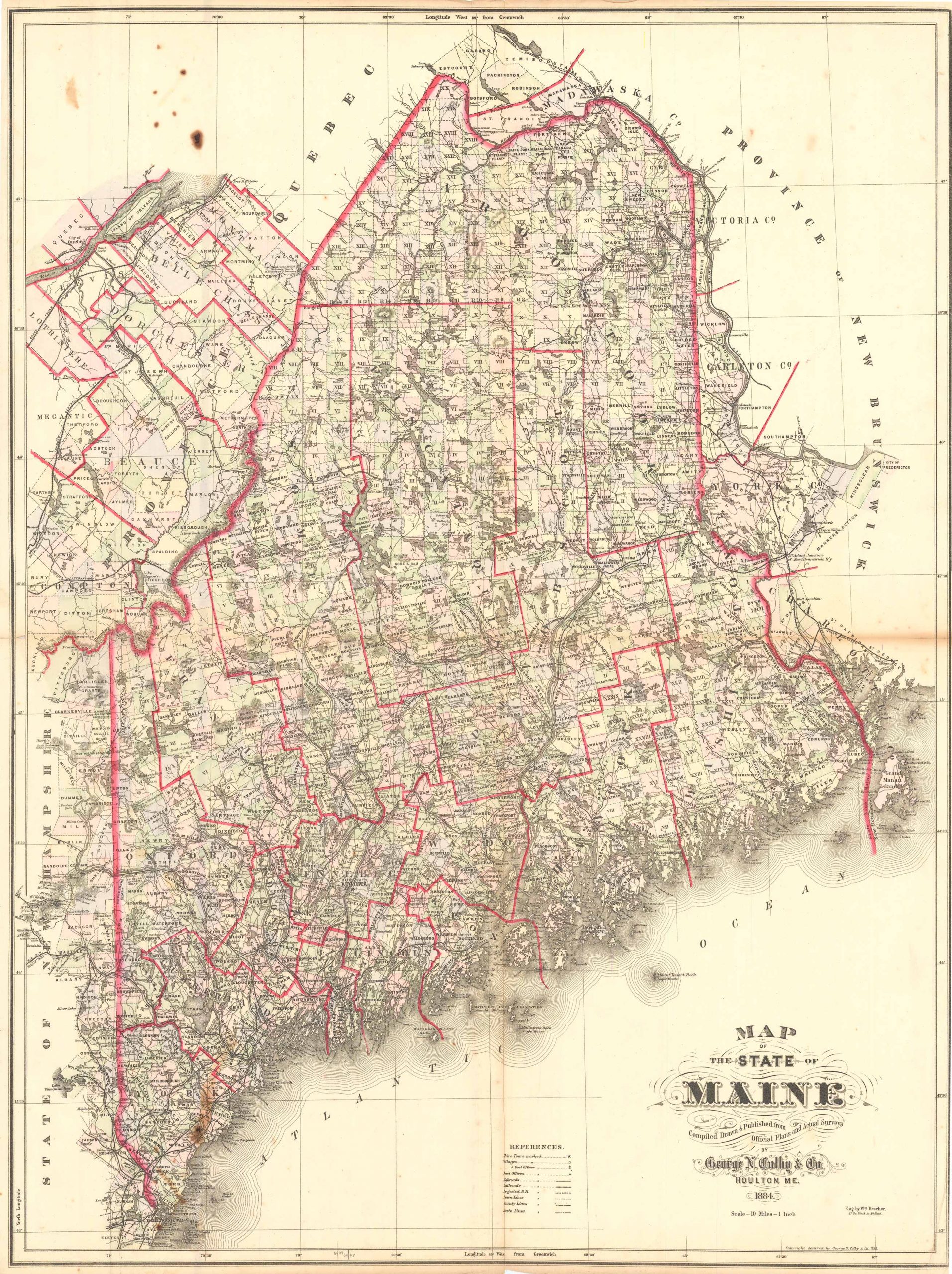
Colby’s 1884 Map of the State of Maine, Compiled, Drawn and Published from Official Plans and Actual Surveys by George N. Colby & Co.
Out of stock
This beautiful, original hand-colored map of the state of Maine came from the “Atlas of the State of Maine” produced by George N. Colby & Co. in 1884. Colbys atlas and the maps therein were produced in limited numbers for a short time, making city and county maps of Maine difficult to locate. This extra-large-format folded map shows counties (named and outlined in red), post offices, railroads, projected railroads, highroads, towns, rivers and lakes. It also shows government land grids in color and identifies land grants by name.
Size: 33 x 24 inches
Condition: Good, light age toning and foxing, some paper loss along border and hole in center right
Map Maker: George N. Colby & Company
Coloring: Original Hand Coloring
Year: 1884
Condition: Good, light age toning and foxing, some paper loss along border and hole in center right
Map Maker: George N. Colby & Company
Coloring: Original Hand Coloring
Year: 1884
Out of stock


