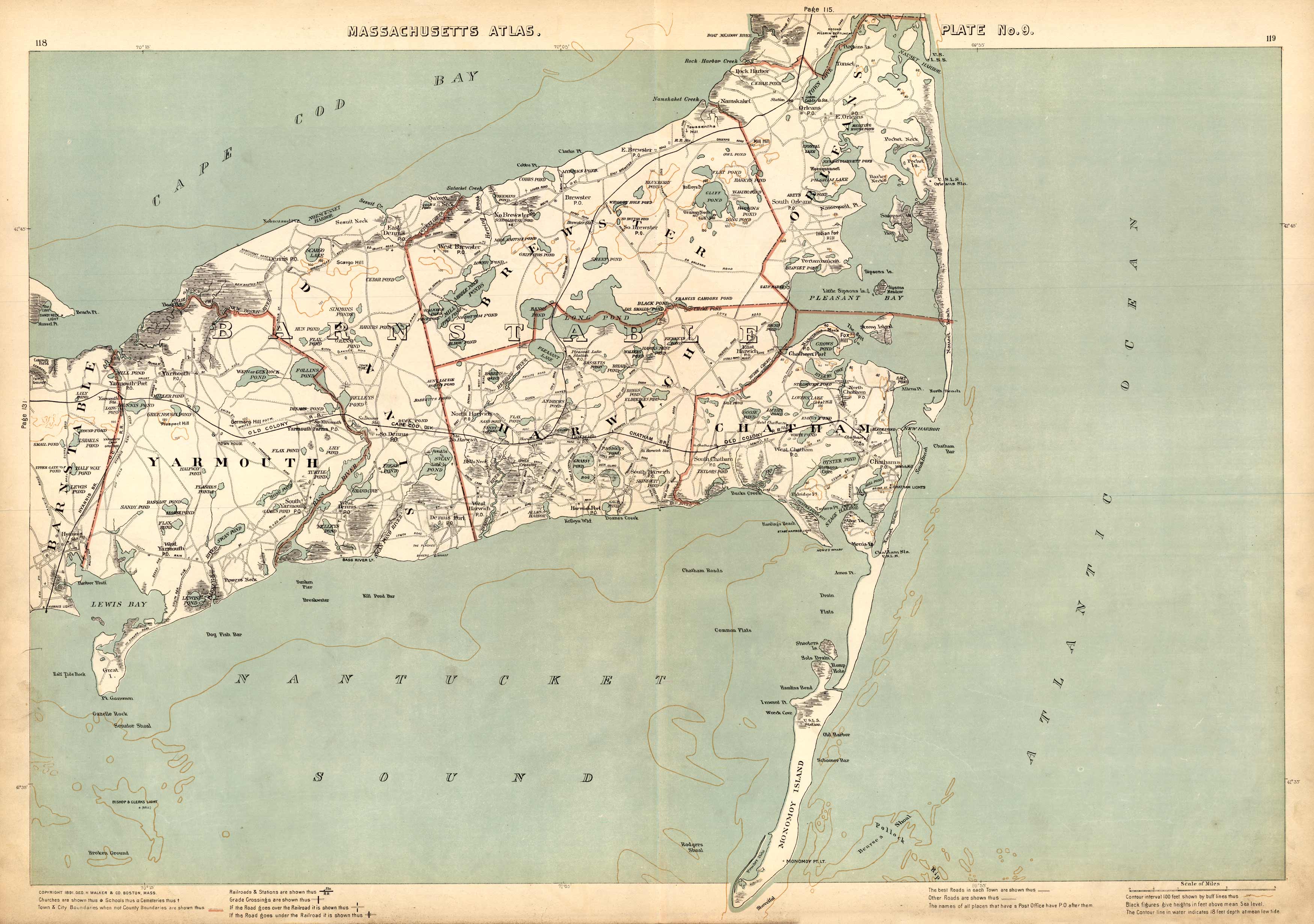
Massachusetts. Atlas Plate No. 9.
In stock
This 1891 Geo H. Walker & Co. map of Barnstable county shows the towns of Yarmouth, Barnstable, Dennis, Harwich, Orleans, and Brewster. It details the numerous harbors, coves, islands, bays, and shoals within the area. Town and city boundaries are indicated through colored borders. This map also captures streets, town houses, ponds, and light houses among other points of interest. Overall, this is a highly detailed and picturesque map of a very scenic area!
Size: 26 x 17.5 inches
Condition: Very Good
Map Maker: Geo H. Walker & CO.
Coloring: Printed Color
Year: 1891
Condition: Very Good
Map Maker: Geo H. Walker & CO.
Coloring: Printed Color
Year: 1891
In stock


