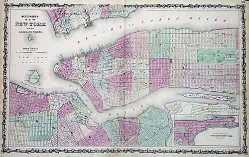
Johnsons Map of New York and the Adjacent Cities
In stock
This antique map came from Johnsons New Illustrated (Steel Plate) Family Atlas, published in 1863, by Johnson and Ward. These maps are some of the most colorful andaccurate maps produced in the 1860’s. Johnson maps are characterized by hand coloring in red and green and distinctive borders, including iron scrollwork and a Celticdesign. The names of streets, rivers, lakes, reservoirs, parks and sections of the city are identified. The bright pastel coloring distinguishes portions of Manhattanand Brooklyn, as well as the New Jersey coastal cities of Hoboken and Jersey City. An inset shows the continuation of New York City from Harlem to Kings Bridge at asmaller scale than the main map. Many local landmarks still in existence are labeled, including Madison Square, Washington Park and the Battery. Great detail of centralpark shows Croton Lake, the Circuit, the Cricket Ground, Gilen Road and the Botanical Gardens.
Condition: Very Good
Map Maker: Johnson and Ward
Coloring: Original Hand Color
Year: 1863
In stock


