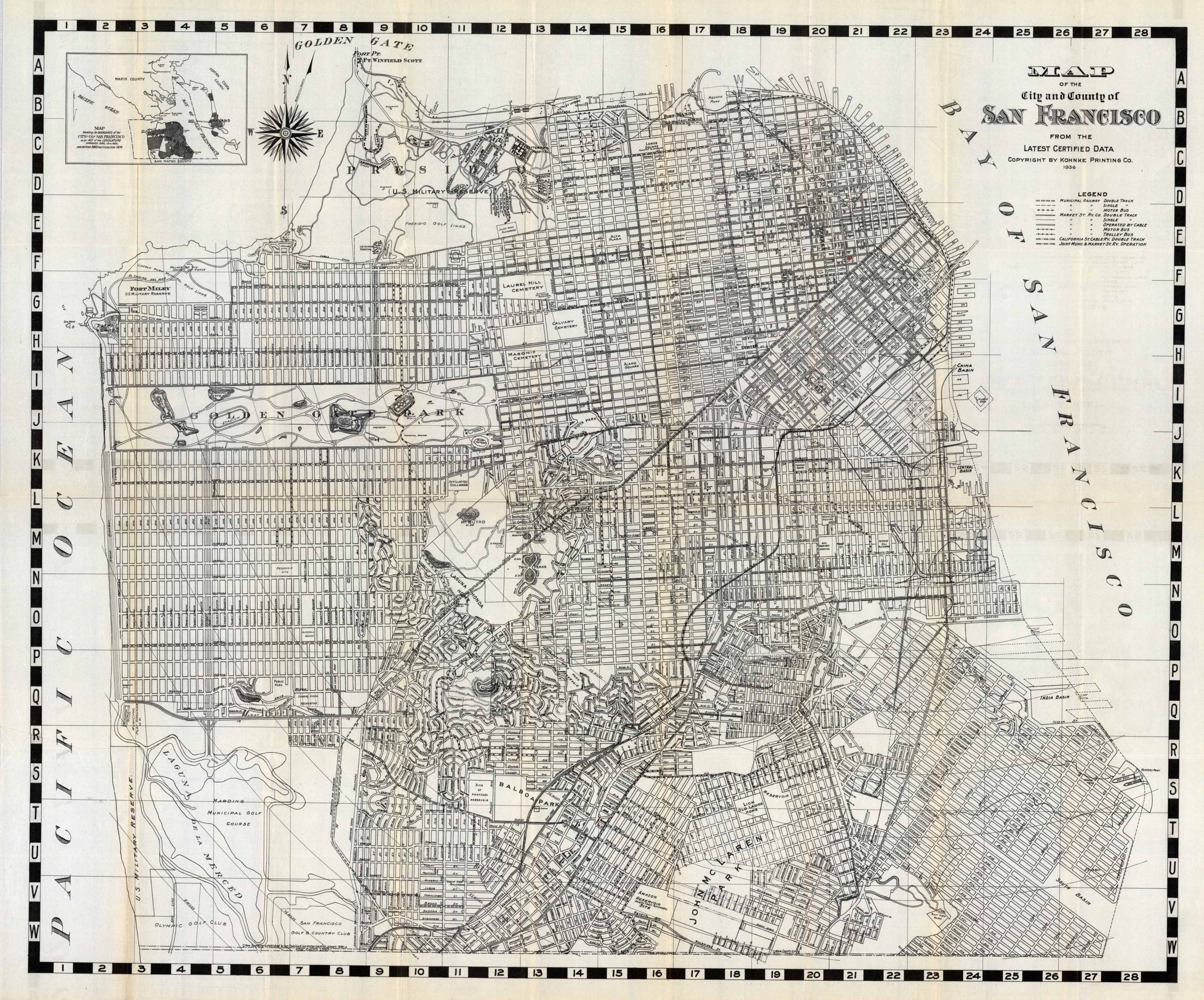
Map of the City and the County of San Francisco
In stock
This 1936 map of San Francisco by Kohnke Printing Co. extends northward to Golden Gate, south to John McLaren Park, east to the India and South basins, and as far west as the U.S. Military Reserve and Laguna De La Merced. The map features area double and single track railways, trolley buses, and motor buses. Also shown is the Golden Gate Park which houses a stadium, arboretum, museum, aviary, conservatory, and myriad lakes. The Fort Miley and Presidio U.S. Military Reserves are also laid out in great detail. Various cemeteries, parks, street names, and golf clubs are also outlined.
Size: 32 x 26.5 inches
Condition: Very Good, folded as issued
Map Maker: Kohnke Printing Co.
Coloring: Black and White
Year: 1936
Condition: Very Good, folded as issued
Map Maker: Kohnke Printing Co.
Coloring: Black and White
Year: 1936
In stock


