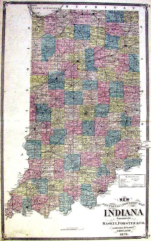
Sectional and Township Map of Indiana
In stock
This beautifully detailed, hand colored state map of Indiana was originally published in the “Illustrated Historical Atlas of the State of Indiana.” Published on the countrys centennial, this is a dramatic and wonderful work that was a celebration of the nation’s settlement and development. This map includes township, county, and city names, as well as railroads and rivers. Condition is very good.
Size: 16 x 26 inches
Condition: Very Good
Map Maker: Baskin & Forster
Coloring: Original Hand Coloring
Year: 1876
Condition: Very Good
Map Maker: Baskin & Forster
Coloring: Original Hand Coloring
Year: 1876
In stock


