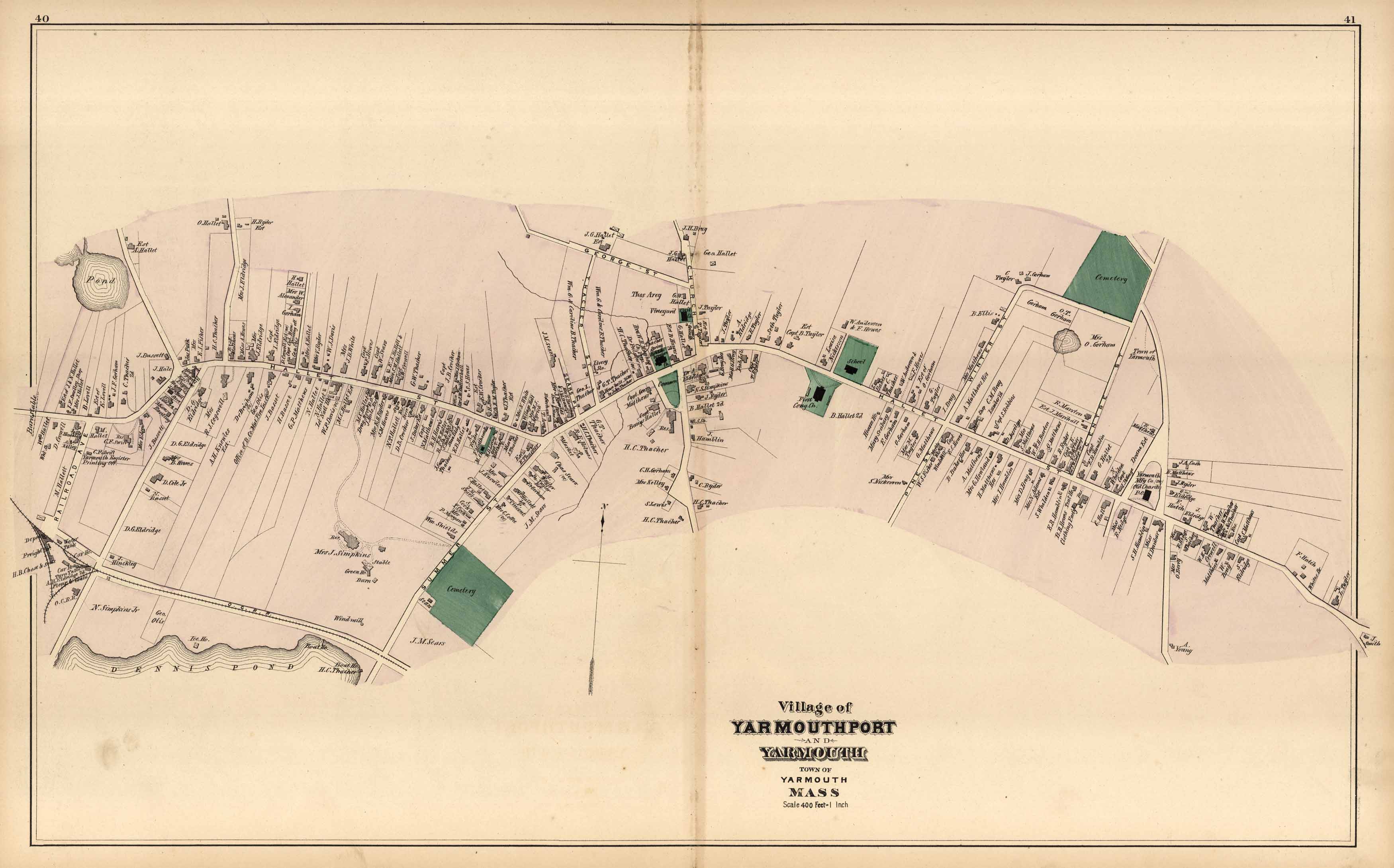
Walker’s 1880 Map of Village of Yarmouthport and Yarmouth, Town of Yarmouth Massachusetts
In stock
We are proud to offer maps from the atlas of Barnstable County, Massachusetts by George H. Walker & Co., 1880. As you probably know maps of Cape Cod towns are few and far between. Walkers atlas of Barnstable County is a great example of county atlases of this time period. The maps show landowners, streets, railroads, depots, wharfs, lighthouses, and much more. All maps have beautiful, original water coloring. Each one would make a perfect Cape Cod gift.
Size: 26 x 16 inches
Condition: Very Good
Map Maker: Geo. H. Walker & Co.
Coloring: Original Hand Coloring
Year: 1880
Condition: Very Good
Map Maker: Geo. H. Walker & Co.
Coloring: Original Hand Coloring
Year: 1880
In stock


