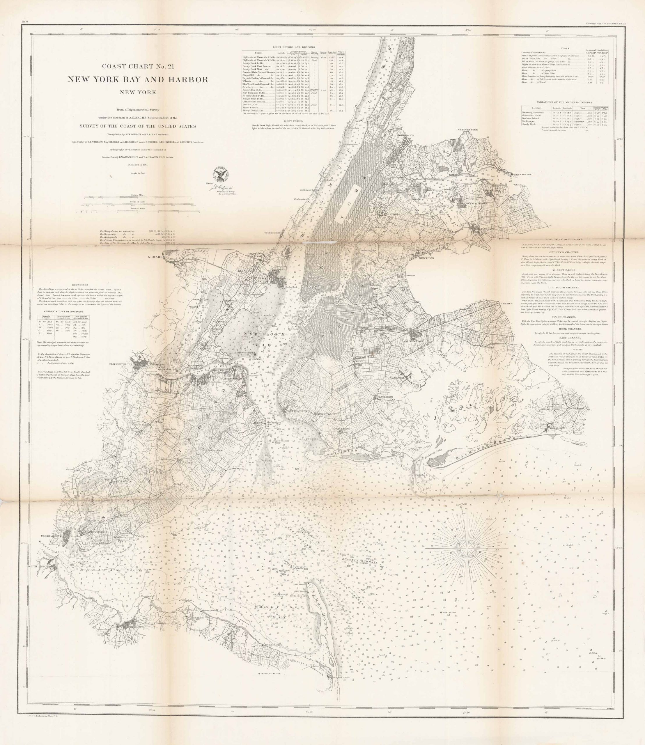
Coast Chart No. 21 New York Bay and Harbor, New York
Out of stock
Coast Chart No. 21 New York Bay and Harbor, New York. From a trigonometrical survey under the direction of A.D. Bache, Superintendent of the survey of the Coast of the United States. Also included on this map are soundings and various towns, cities, and landmarks such as New York City, Brooklyn, Hudson River, Coney Island, Staten Island, Sandy Hook, Westchester, and more. There are four charts: Abbreviations of Bottoms, Variations of the Magnetic Needle, Tides, and Lighthouses and Beacons. There are also sailing directions on various channel’s including: Gedney’s, Old South, Swash, Hook and others.
Size: 27 x 30.5 inches
Condition: Good
Original Production Year: 1861
Coloring: Black and white
Year: 1861
Condition: Good
Original Production Year: 1861
Coloring: Black and white
Year: 1861
Out of stock


