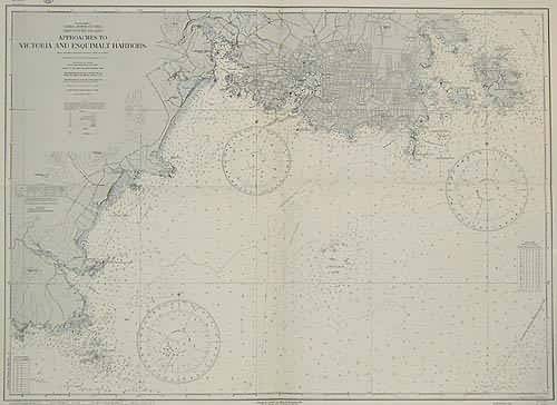
Approaches To Victoria and Esquimalt Harbors
In stock
This coastal survey was stamped as completed in 1944 by The U.S Hydrographic Office Washington D.C. Vancouver Island, Approaches to Victoria and Esquimalt Harbors is represented on this map. Compiled from Canadian surveys between 1918 and 1923. Lights, bouys, Coast guard stations, radiobeacons, islands, and, topographical features of the coast line are illustrated. A chart with tidal information is included. A very nice map with great detailing.
Size: 39 x 28 inches
Condition: Excellent
Map Maker: U.S Hydrographic Office
Coloring: Machine Coloring
Year: 1944
Condition: Excellent
Map Maker: U.S Hydrographic Office
Coloring: Machine Coloring
Year: 1944
In stock


