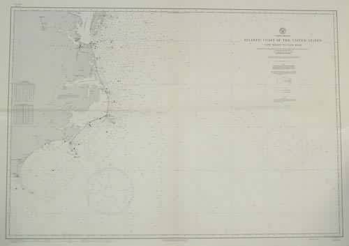
Atlantic Coast of the United States Cape Henry to Cape Fear
In stock
This coastal survey was stamped as completed July 1944 by the U.S. Hydrographic department in Washington D.C. The Atlantic Coast of the United States, from Cape Henry to Cape Fear is represented. This map was compiled from the publications of the United States Coast and Geodetic Survey with additions from other sources. Soundings are in fathoms. Information on lights, bouys, radiobeacons, radio direction finder and Coast Guard station is included. Cities, inlets, and bays are noted. A conversion chart of fathoms to meters is included. Notes stamped on the map read: ” Warning Aids to navigation may be altered, interrupted or removed without notice. In general, temporary changes due to war conditions are not incorporated on the chart.”
Condition: Excellent
Map Maker: U.S Hydrographic Office
Coloring: Machine Coloring
Year: 1944
In stock


