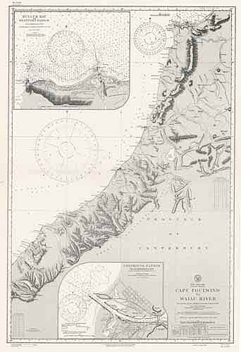
Cape Foulwind to Waiau Ruver, Buller Bay and Westport Harbor, Greymouth Harbor, New Zealand
In stock
This coastal survey was printed in October 1944 by the U.S. Navy Hydrographic Office in Washington D.C. Details include the names of cities and waterways along the coast. Depth soundings are shown in fathoms. Other details included are lighthouses and bouy positions.
Size: 24 x 37 inches
Condition: Excellent
Map Maker: Hydrographic office, U.S. Navy
Coloring: Printed Color
Year: 1944
Condition: Excellent
Map Maker: Hydrographic office, U.S. Navy
Coloring: Printed Color
Year: 1944
In stock


