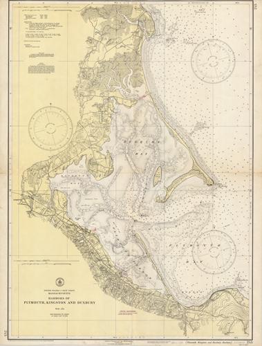
Harbors of Plymouth, Kingston and Duxbury, Massachusetts
In stock
This coastal survey, produced in 1946, shows the Harbors of Plymouth, Kingston and Duxbury. It was made by the United States Coast and Geodetic Survey. These surveys provide notes on important characteristics, including depth readings, and names of harbors, rivers, and coastal towns. The charts illustrate areas that have likely undergone significant changes due to modifications and recessions of coastal lands, making them fascinating to anyone interested in local geography and history.
Size: 27.5 x 38.75 inches
Condition: Poor, heaviliy used as shown, folded as issued
Map Maker: U.S. Coast and Geodetic Survey
Coloring: Printed Color
Year: 1946
Condition: Poor, heaviliy used as shown, folded as issued
Map Maker: U.S. Coast and Geodetic Survey
Coloring: Printed Color
Year: 1946
In stock


