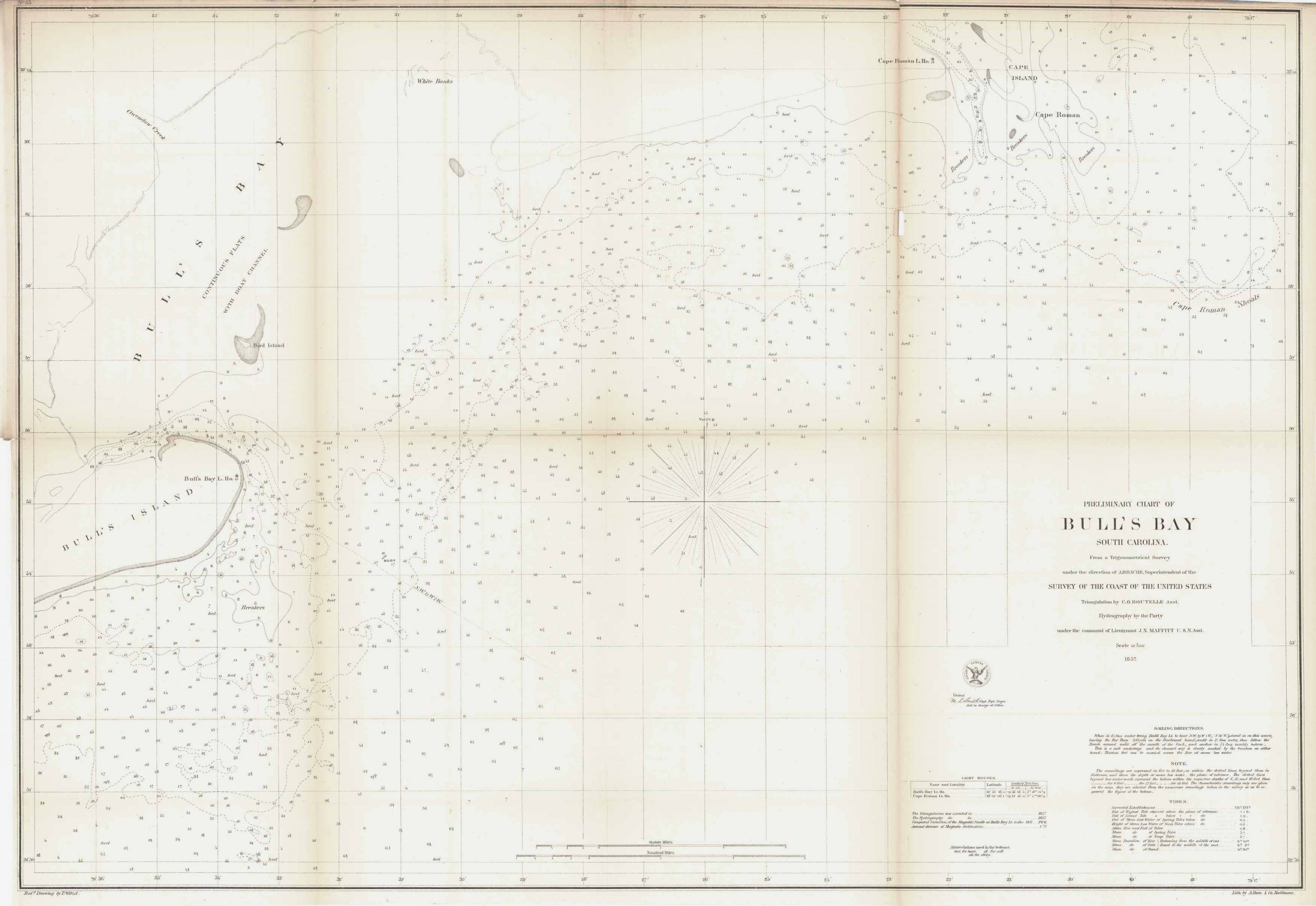
Preliminary Chart of Bulls Bay South Carolina, 1857
In stock
This black and white, antique coastal survey was made for the United States Coast Survey. The surveys provide depth readings and notes on important coastal characteristics of the area mapped. The names of harbors, rivers, islands, channels, shoals, capes, inlets, and coastal towns are identified on the map. These charts show areas that have likely undergone significant changes due to modifications and recessions of coastal lands, making them fascinating to anyone interested in local geography and history. Sold folded as issued.
Size: 31 x 22 inches
Condition: Very Good, slight foxing in folds
Map Maker: U.S. Coast Survey Office
Coloring: Black and White
Year: 1857
Condition: Very Good, slight foxing in folds
Map Maker: U.S. Coast Survey Office
Coloring: Black and White
Year: 1857
In stock


