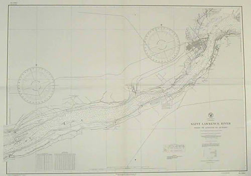
Saint Lawrence River Point St. Antoine to Quebec
In stock
This coastal survey was stamped as completed May 1944 by the U.S. Hydrographic department in Washington D.C. The Saint Lawrence River, from Point St. Antoine to Quebec is represented. This map was compiled from Canadian Government surveys to 1938. Quebec is depicted in a small scale map, tidal information, a conversion table for feet to meters, points, neighboring islands, and descriptions of the topography along the shore line are noted. Railroads, and roads are illustrated. Soundings and heights are in feet. A conversion chart of fathoms to meters is included.
Size: 38 x 26 inches
Condition: Excellent
Map Maker: U.S Hydrographic Office
Coloring: Machine Coloring
Year: 1944
Condition: Excellent
Map Maker: U.S Hydrographic Office
Coloring: Machine Coloring
Year: 1944
In stock


