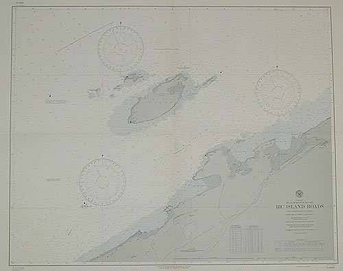
St. Lawrence River Bic Island Roads
In stock
This coastal survey was stamped as completed May 1943 by the U.S. Hydrographic department in Washington D.C. The Saint Lawrence River Bic Island Roads is represented. Compiled from Canadian survey in 1911 and 192. Soundings are in feet, lights and bouys are described. Nearby railroad lines, cities, canals and topographical features along the shore are illustrated. Conversion table of feet to meters, and tidal information is included.
Size: 34 x 27 inches
Condition: Excellent
Map Maker: U.S Hydrographic Office
Coloring: Machine Coloring
Year: 1944
Condition: Excellent
Map Maker: U.S Hydrographic Office
Coloring: Machine Coloring
Year: 1944
In stock


