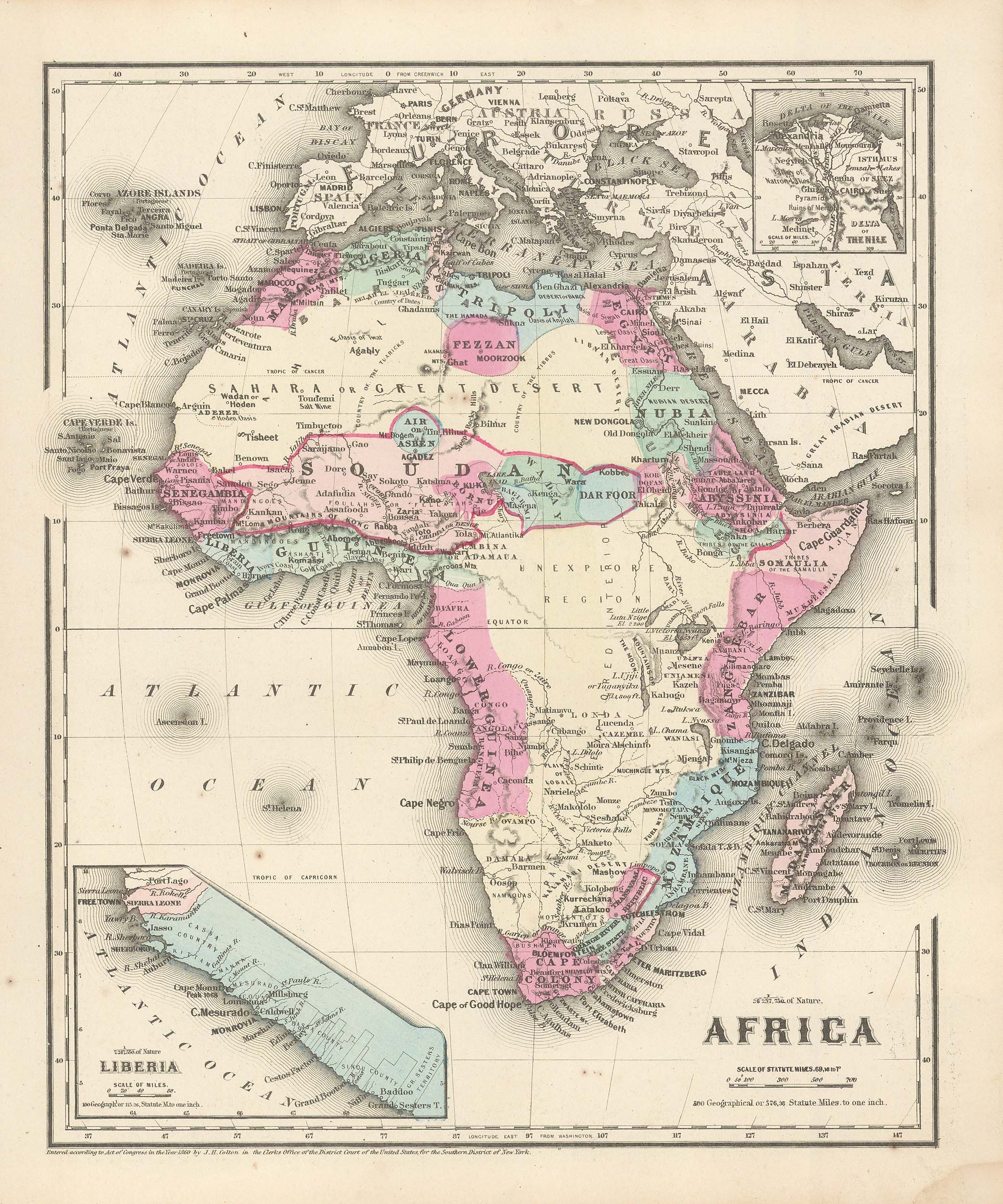
Colton’s 1860 Map of Africa with inset Map of Liberia
In stock
This political map was issued as part of J.H. Coltons’s 1860 School Atlas. We consider Colton to be the premier mapmaker in American history. His maps are known for their precision and attention to detail.
Size: 10.5 x 12 inches
Condition: Very Good
Map Maker: J.H. Colton
Coloring: Hand-Colored Steel Engraving
Year: 1860
Condition: Very Good
Map Maker: J.H. Colton
Coloring: Hand-Colored Steel Engraving
Year: 1860
In stock


