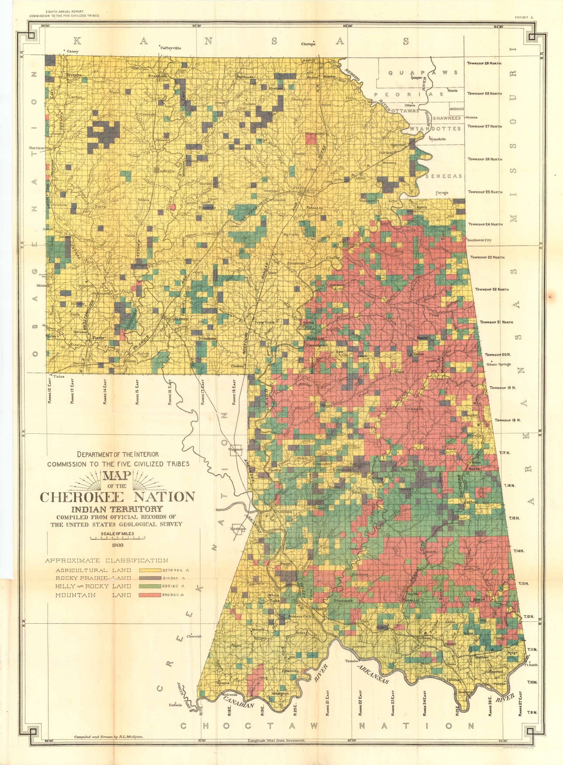
Department of the Interior Map of the Cherokee Nation Indian Territory, 1900
Out of stock
Here we see the original land given to the The Tribe originating in the Appalachia’s now are spread across a territory reaching from the Canadian River up to the Kansas border reaching as far west as Tulsa. Lands are tinted to show their classification, from “Mountain land” to “Agriculture land”. This is an attractive and historically interesting map giving us much detail for towns, railroads, as well as drainage. Minor supportive repair to one fold, otherwise very good condition.
Size: 25.5 x 35 inches
Condition: Very Good
Map Maker: Department of the Interior
Coloring: Printed Color
Year: 1900
Condition: Very Good
Map Maker: Department of the Interior
Coloring: Printed Color
Year: 1900
Out of stock


