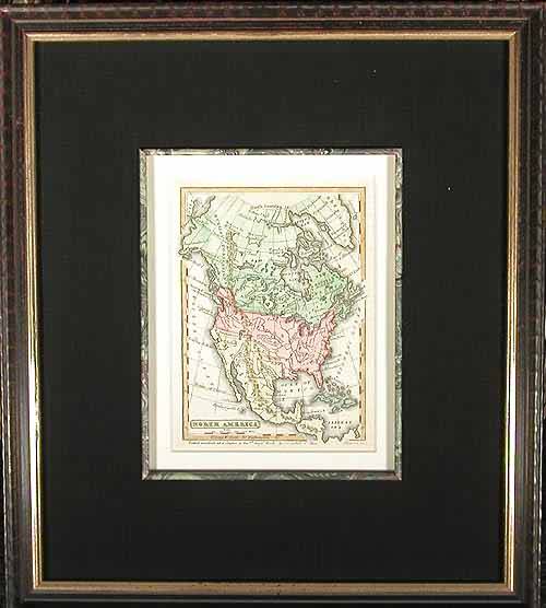
North America
Out of stock
This quaint smaller map grants us a colorful historical view of the continent with lots of interesting and unique qualities. Perhaps most striking immediately is the territorial extension in the Pacific Northwest that stretches well into Canada. Since this map was published prior to the Mexican-American War, the entirety of the Southwest is under Mexican dominion, from Texas to the present day Oregon border. This is a fine copperplate engraving and doesn”t neglect to include detail for the latest discoveries of Lewis & Clark throughout the West.This image completed with fine archival framing, complete with inner liner, marbel paper, cloth mat, UV protective glass and ornate black wood frame
Size: 1 x 1 inches
Condition: very good
Map Maker: Boynton
Coloring: full hand color
Year: 1837
Condition: very good
Map Maker: Boynton
Coloring: full hand color
Year: 1837
Out of stock


