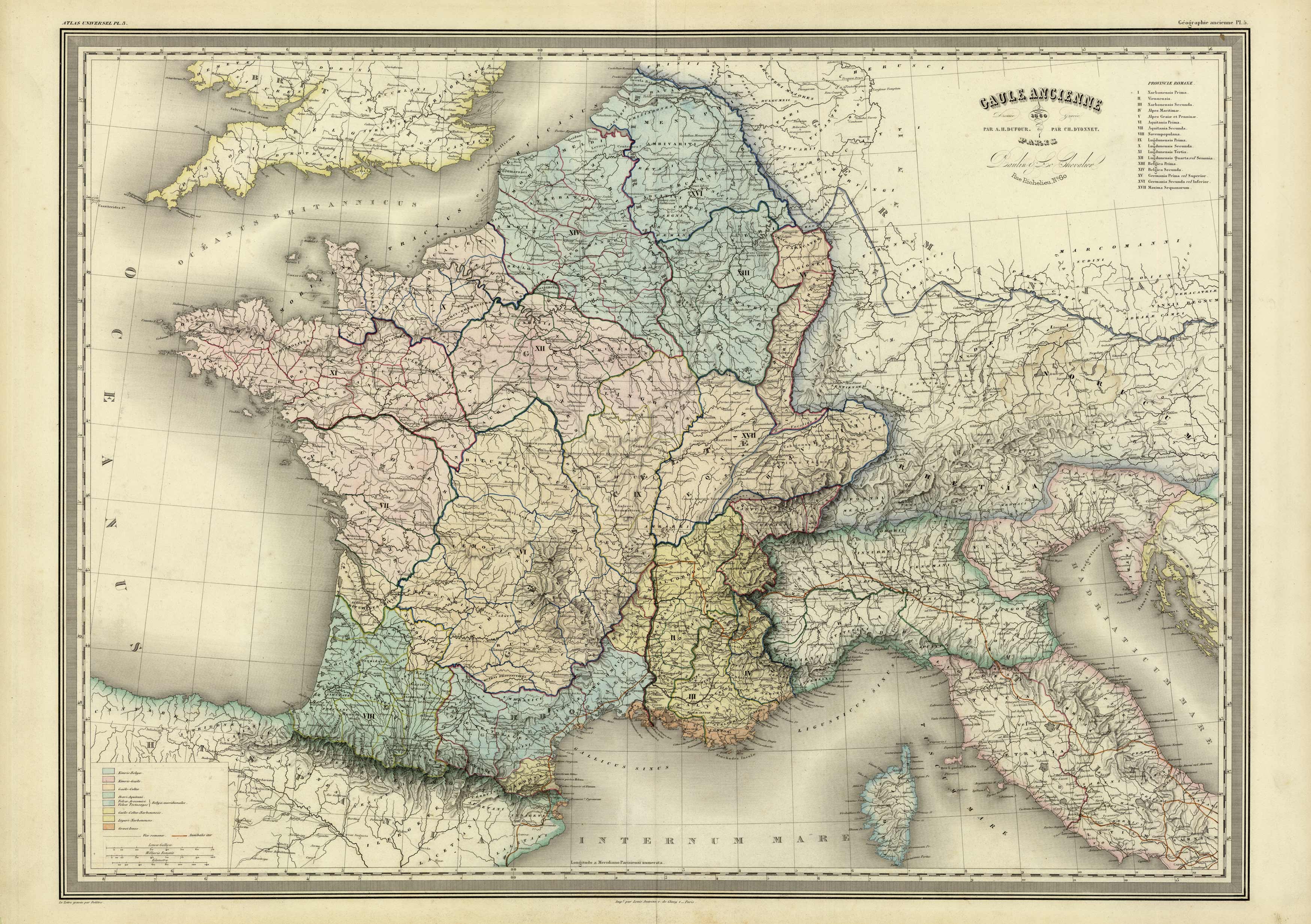
Gaule Ancienne
In stock
Exceptionally large, detailed steel plate map of ancient France (Guale) showing regions, rivers, towns and a great deal of topographic detail. Attractive coloring designating the tribal groups in each area.
Size: 29.5 x 21.5 inches
Condition: Very Good
Map Maker: A.H. Dufour, Grand Atlas Universel
Coloring: Original hand color
Year: 1860
Condition: Very Good
Map Maker: A.H. Dufour, Grand Atlas Universel
Coloring: Original hand color
Year: 1860
In stock


