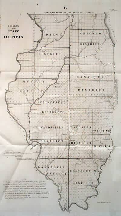
Diagram of the State of Illinois
In stock
This map focuses on showing the states land districts. Also shown are rivers and many towns. More detail than in many of the maps from previous years.
Size: 12 x 21 inches
Condition: Very Good
Map Maker: General Land Office
Coloring: Black & White
Year: 1848
Condition: Very Good
Map Maker: General Land Office
Coloring: Black & White
Year: 1848
In stock


