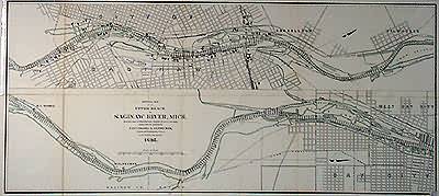
General Map of the Upper Reach of Saginaw River, Michigan
Out of stock
This map of the upper reach of the Saginaw River was made in 1895. Partial street plans of the surrounding cities are provided, as well as depth readings.
Size: 36 x 16 inches
Condition: Very Good- age toning
Map Maker: Lieut. Colonel G.J.Lydecker, Corps of Engineers
Coloring: Machine
Year: 1895
Condition: Very Good- age toning
Map Maker: Lieut. Colonel G.J.Lydecker, Corps of Engineers
Coloring: Machine
Year: 1895
Out of stock


