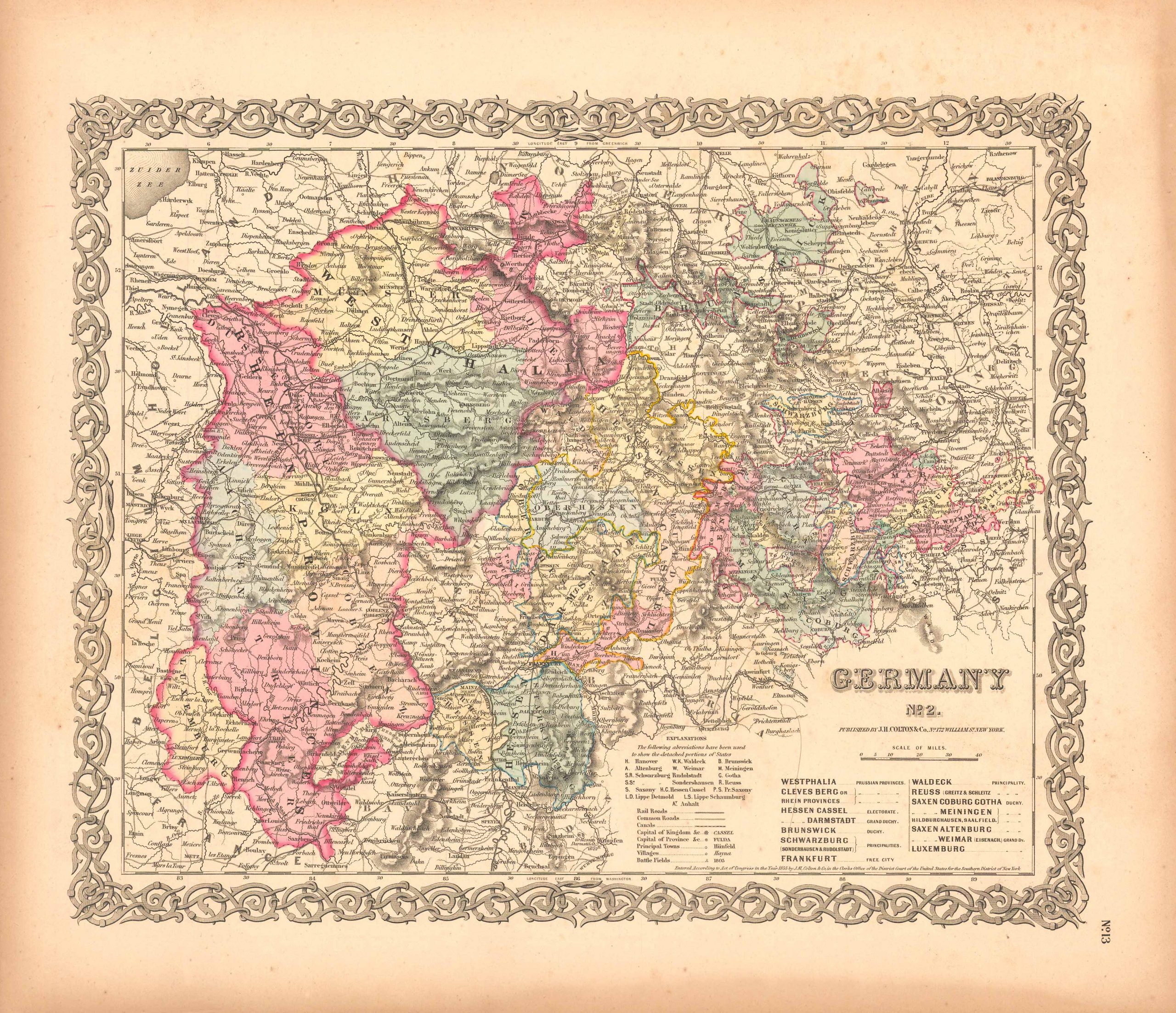
Germany No. 2 (Westphalia, Cleves Berg, Rhine Provinces, Hessen Cassel, Darmstadt, Brunswick, Schwarzburg, Frankfurt, Waldeck, Reuss, Saxen Coburg, Gotha , Meiningen, Saxon Altenburg, Weimar, Luxemburg)
In stock
Art Source International is proud to offer this map of Germany from the 1856 edition of Coltons Atlas of the World. Colton atlases, especially those from the 1850’s, have become increasingly rare. The Colton maps were engraved by steel plates rather than by wax engraving, which was the most common method used at this time. These maps are very detailed in beautiful hand colored pastels, and feature Colton’s signature 3/4 inch border. This map shows countries and/or regions, cities, towns and villages, transportation routes, common roads, canals, rivers and lakes, and other geographical features.
Size: 16 x 13 inches
Condition: Very Good, light foxing along margin
Map Maker: J.H. Colton & Co.
Coloring: Original Hand Coloring
Year: 1856
Condition: Very Good, light foxing along margin
Map Maker: J.H. Colton & Co.
Coloring: Original Hand Coloring
Year: 1856
In stock


