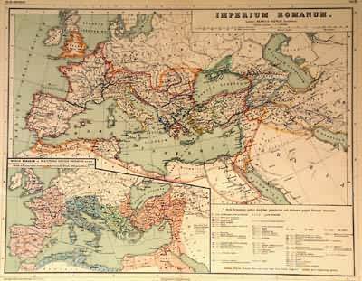
Imperium Romanum
Out of stock
From Atlas Antiquus, Twelve Maps of the Ancient World for Schools and Colleges by Dr. Henry Kiepert, published in English with maps in Latin. This map shows the ancient Roman Empire at two different scales, with hand-applied outline color showing the divisions into prefects. This map also features exceptionally bright coloring.
Size: 17 x 13 inches
Condition: Excellent
Map Maker: Atlas Antiquus, Dr. Henery Kiepert
Coloring: Printed Color
Year: 1898
Condition: Excellent
Map Maker: Atlas Antiquus, Dr. Henery Kiepert
Coloring: Printed Color
Year: 1898
Out of stock


