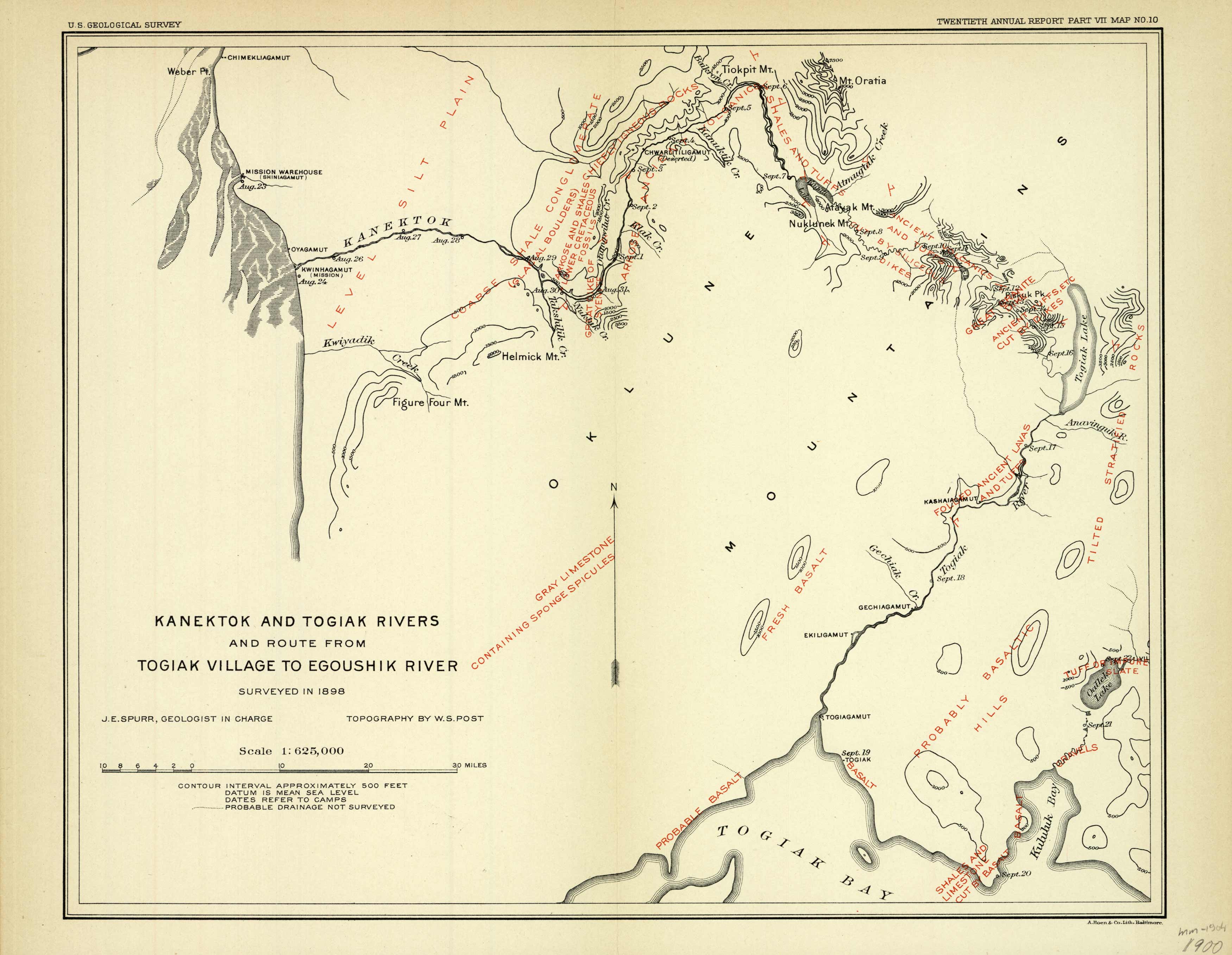
Kanektok and Togiak Rivers and route from Togiak Village to Egoushik River
Out of stock
This 1900 map from the USGS of the Kanektok and Togiak Rivers and route from Togiak Village to Egoushik River in Alaska. Topographical features along the route are indicated in red, i.e. “level silt plain”, “probable basalt”, etc.
Size: 13 x 10.5 inches
Condition: Very Good
Map Maker: Spurr & Post, U.S. Geological Survey
Coloring: Printed Color
Year: 1900
Condition: Very Good
Map Maker: Spurr & Post, U.S. Geological Survey
Coloring: Printed Color
Year: 1900
Out of stock


