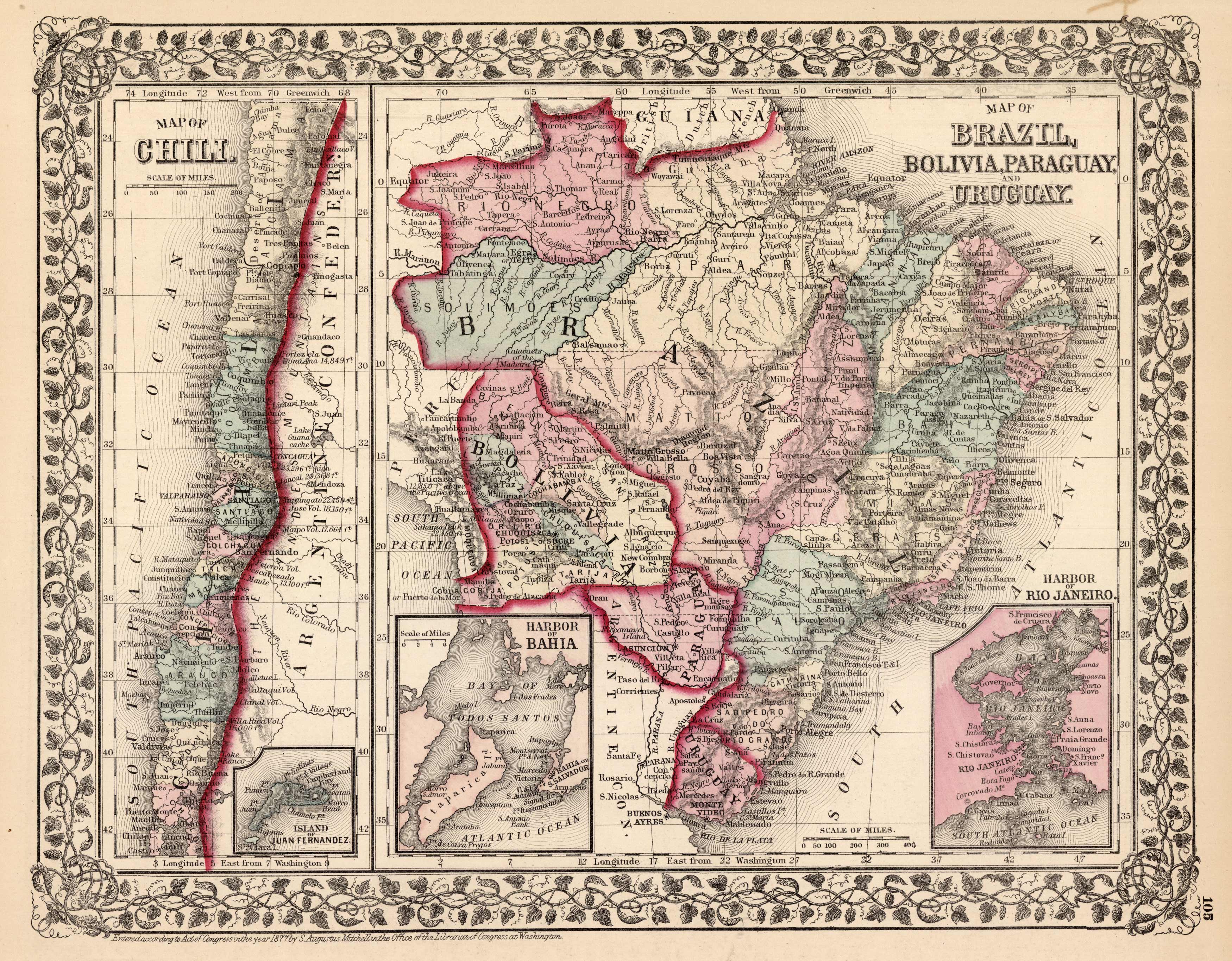
Map of Brazil, Bolivia, Paraguay, and Uruguay – Map of Chili
In stock
This hand colored map was made by S. Augustus Mitchell for “Mitchells New General Atlas” in 1877. The map on the left illustrates Chili with an inset of the Island of Juan Fernandez. The right map shows Brazil, Bolivia, Paraguay, and Uruguay with insets of Rio de Janero and Bahia. Details include the names of countries and important cities, and illustrations of mountains, lakes, rivers, and major roads.
Size: 13.5 x 10.5 inches
Condition: Very Good-age toning
Map Maker: S. Augustus Mitchell
Coloring: Original Hand Color
Year: 1877
Condition: Very Good-age toning
Map Maker: S. Augustus Mitchell
Coloring: Original Hand Color
Year: 1877
In stock


