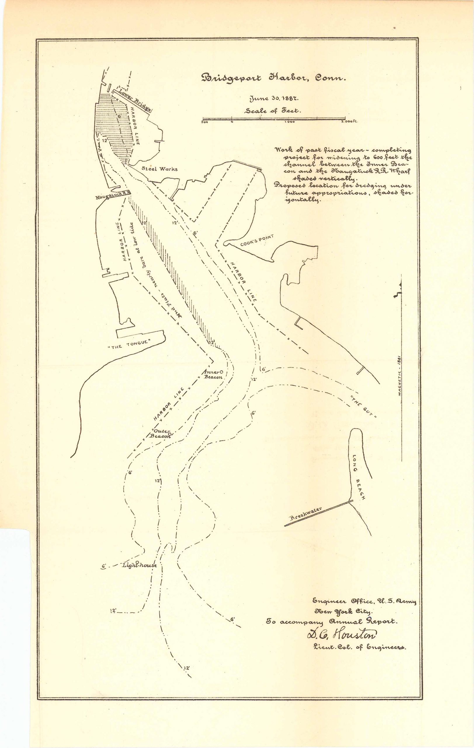
Map of Bridgeport Harbor, Connecticut 1887
In stock
Map of Bridgeport Harbor, Connecticut June 30, 1887. By the Engineer Office U.S. Army, New York City to accompany annual report from the Lieutenant Col. of Engineers. This map showcases the proposed location for dredging under future appropriations–these areas are shaded to be more recognizable.
Size: 6 x 10.5 inches
Condition: Very good
Map Maker: U.S. Corps of Engineers
Original Production Year: 1887
Coloring: Black & White
Year: 1887
Condition: Very good
Map Maker: U.S. Corps of Engineers
Original Production Year: 1887
Coloring: Black & White
Year: 1887
In stock


