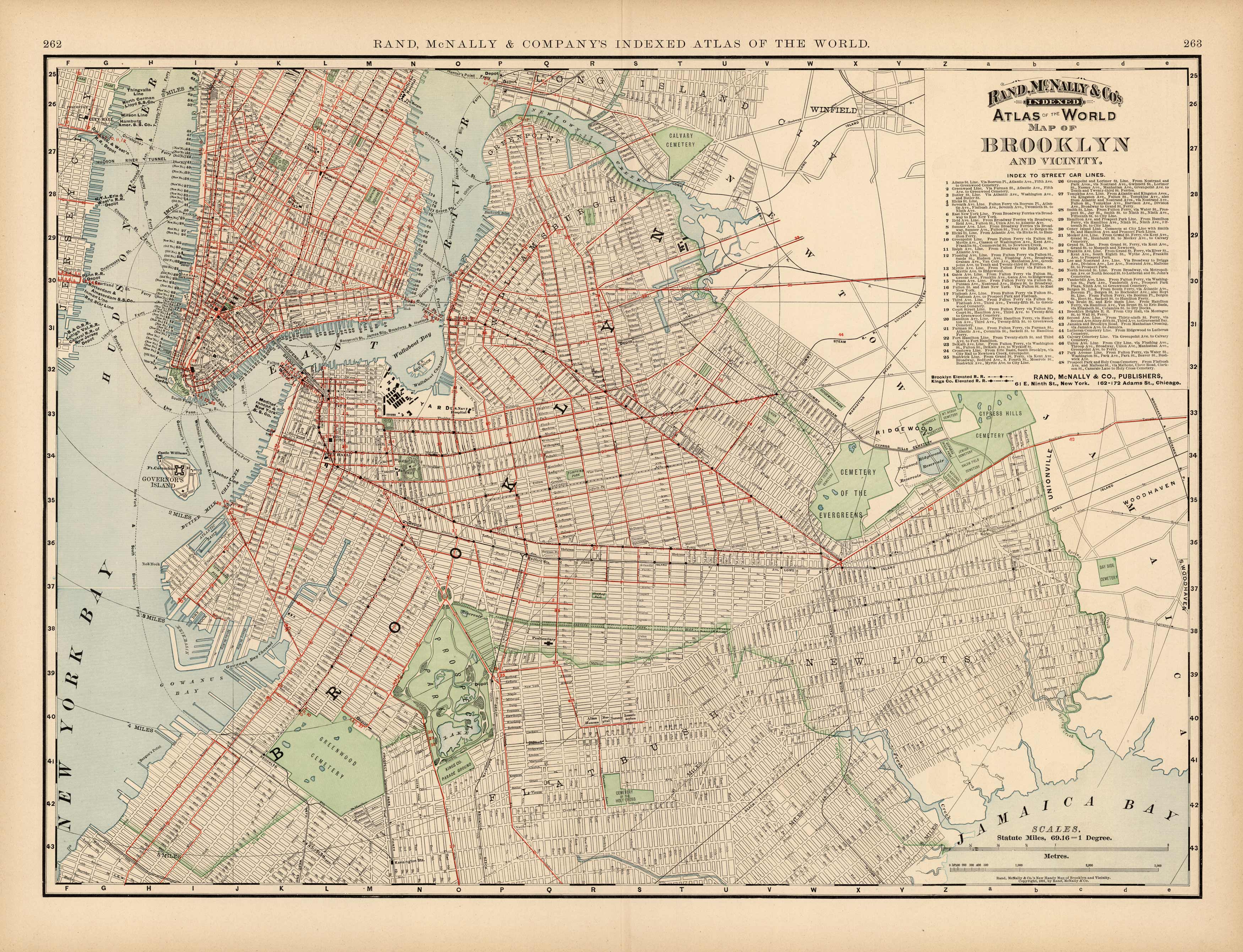
Map of Brooklyn and Vicinity
Out of stock
This large scale map of Brooklyn and Vicinity was made for Rand, McNally & Companys Indexed Atlas of the World, published in 1894. An index to street car lines is located in the top right corner of this map. City sections, parks, cemetaries, docks, churches, hospitals and depots are illustrated. A great rare map!’
Size: 26 x 19 inches
Condition: Very Good
Map Maker: Rand McNally & Co
Coloring: Printed color
Year: 1894
Condition: Very Good
Map Maker: Rand McNally & Co
Coloring: Printed color
Year: 1894
Out of stock


