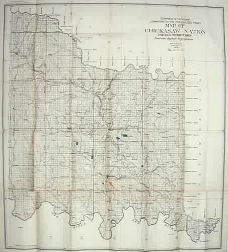
Map of Chickasaw Nation Indian Territory
Out of stock
This hard to find Government Land Office map was made in 1900 for the “Ninth Annual Report Commission to the Five Civilized Tribes”. The land of the Seminole Nation in Oklahoma is illustrated on this mostly orange map with blue and white accents. The orange are shows “land allotted” and blue identifies school districts.
Size: 30 x 33 inches
Condition: Very Good-age toning
Map Maker: U.S. Government
Coloring: Printed Color
Year: 1903
Condition: Very Good-age toning
Map Maker: U.S. Government
Coloring: Printed Color
Year: 1903
Out of stock


