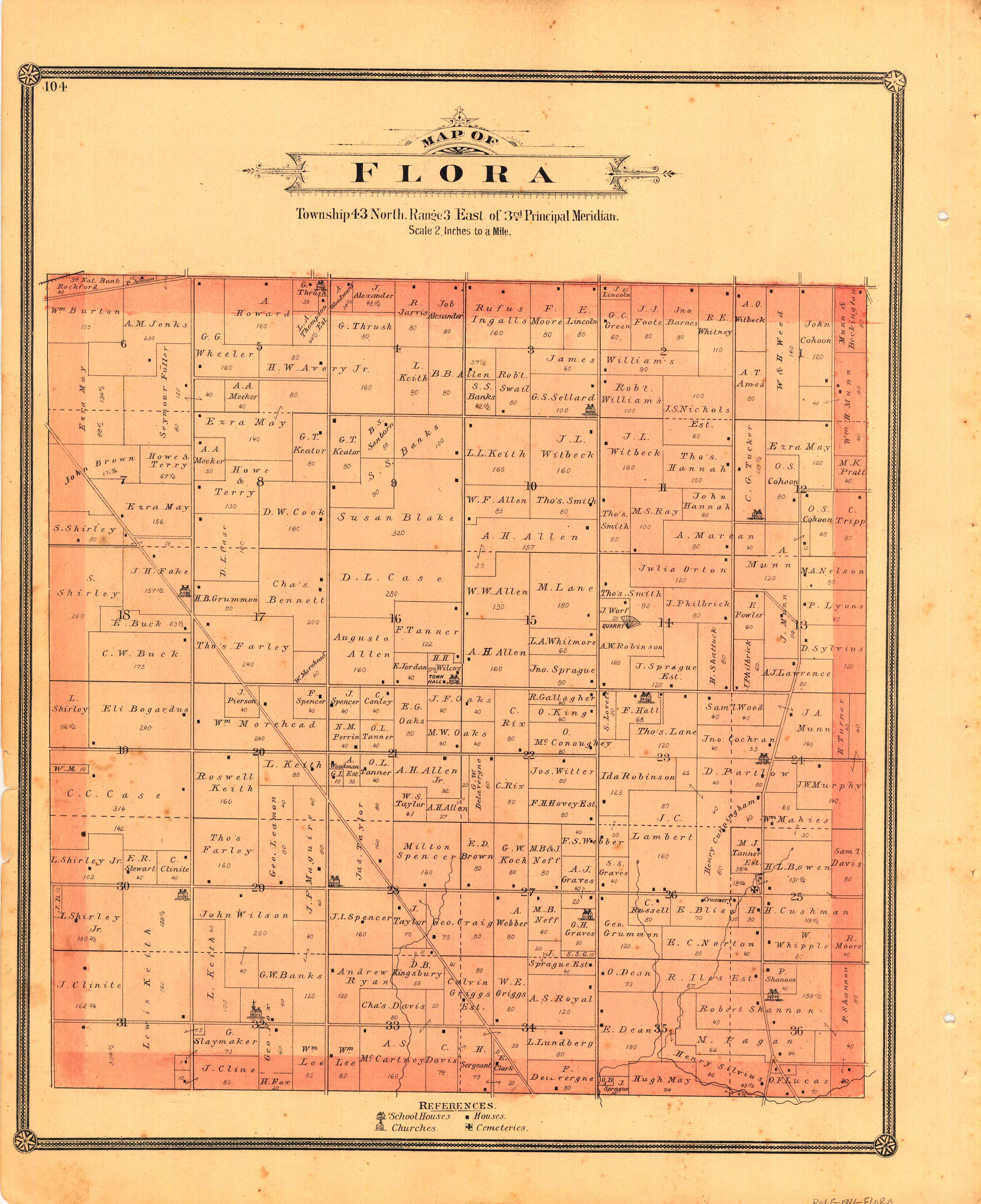
Map of Flora
Out of stock
We at ASI are proud to offer these maps and views from the “Illustrated Atlas of Winnebago and Boone Counties, Illinois” – produced in 1886 by H.R. Page & Co., Chicago. Property owners, important buildings and parks are shown in great detail. Details include the names of counties, townships and towns, and illustrations of railroads, rivers, creeks, lakes, and streets.
Size: 13 x 16.5 inches
Condition: Very Good - slight foxing
Map Maker: H.R. Page & Co., Chicago
Coloring: Original Hand Color
Year: 1886
Condition: Very Good - slight foxing
Map Maker: H.R. Page & Co., Chicago
Coloring: Original Hand Color
Year: 1886
Out of stock


