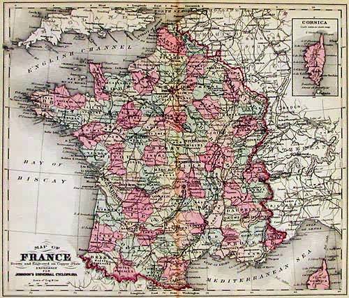
Map of France
Out of stock
This beautiful map was originally published in “Johnson’s New Universal Cyclopedia” in 1881. The maps within were drawn and compiled by Frederick Barnard and Arnold Guyot for this publication. These smaller format maps are hand colored and were produced using copper plates. The fine detail of this map shows countries or provinces, cities and towns, rivers and lakes, roads, and most importantly, the existing railroad network.
Size: 10 x 12 inches
Condition: Very Good
Map Maker: Johnson
Coloring: Original Hand Coloring
Year: 1881
Condition: Very Good
Map Maker: Johnson
Coloring: Original Hand Coloring
Year: 1881
Out of stock


