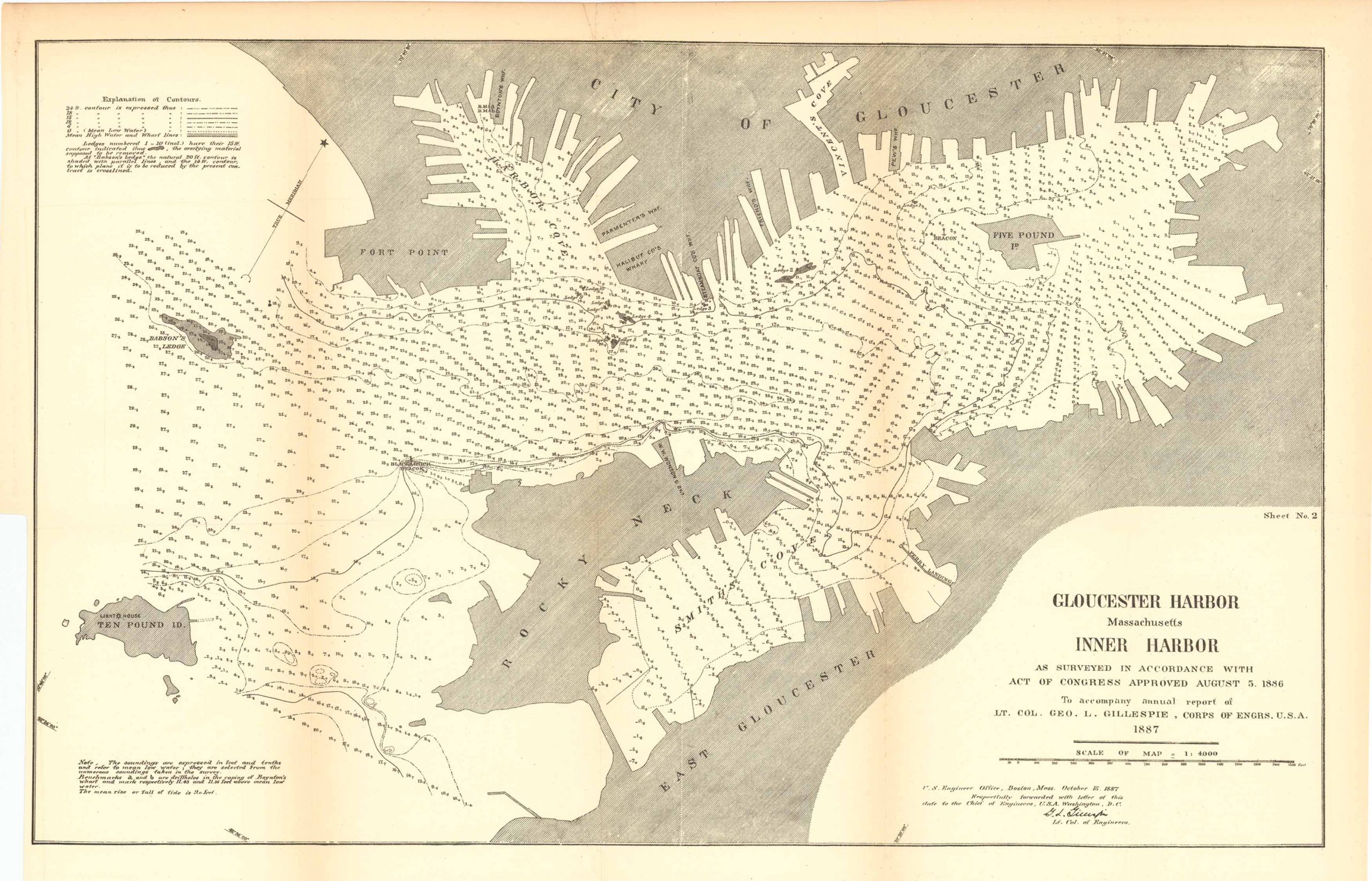
Map of Gloucester Harbor, Massachusetts; Inner Harbor 1887
In stock
Map of Gloucester Harbor, Massachusetts; Inner Harbor as surveyed in accordance with act of congress approved August 5th, 1886. To accompany, annual report of LT. Col. Geo L. Gillespie, Corps of Engineers U.S.A. 1887. This map is set on a scale of 1:4000 and is accompanied by Notes and an Explanation of Contours. Featured on this map is: East Gloucester, Ten Pound Island, Rocky Neck, Five Pound Island, the City of Gloucester, Vincent’s Cove, Fort Point, Babson’s Ledge, Halibut CO’s Wharf, Parmenter’s Wharf, Pew’s Wharf, among others.
Size: 21 x 13.25 inches
Condition: Very good
Map Maker: U.S. Corps of Engineers
Original Production Year: 1887
Coloring: Black & White
Year: 1887
Condition: Very good
Map Maker: U.S. Corps of Engineers
Original Production Year: 1887
Coloring: Black & White
Year: 1887
In stock


