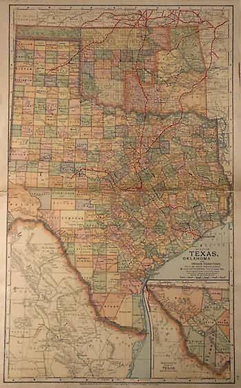
Map of Texas, Oklahoma and Indian Territory
Out of stock
Art Source International is excited to offer this exceptional map from a book of railroad maps of the western United States that was the personal copy of a pass. traffic manager in the late 1900’s. The maps have a canvas backing and well aged, lithographed color. Abundant railroad related details include train routes in black with major routes in red, the names of counties and important cities, and identification of station stops. Texas, Oklahoma, and the Indian Territory are illustrated on this map with an inset showing the westernmost part of Texas. These extremely rare maps were made by the Matthews-Northup Co. Of Buffalo, New York, circa 1890 and owned by W. F. White. Their rarity and detail make these maps of great collectible value to railroad historians or collectors of documents from this important period in America’s development.
Condition: Very Good-age toning, slight paper loss at splits in folds
Map Maker: Mathews-Northup Co.
Coloring: Machine Color
Year: circa 1890
Out of stock


