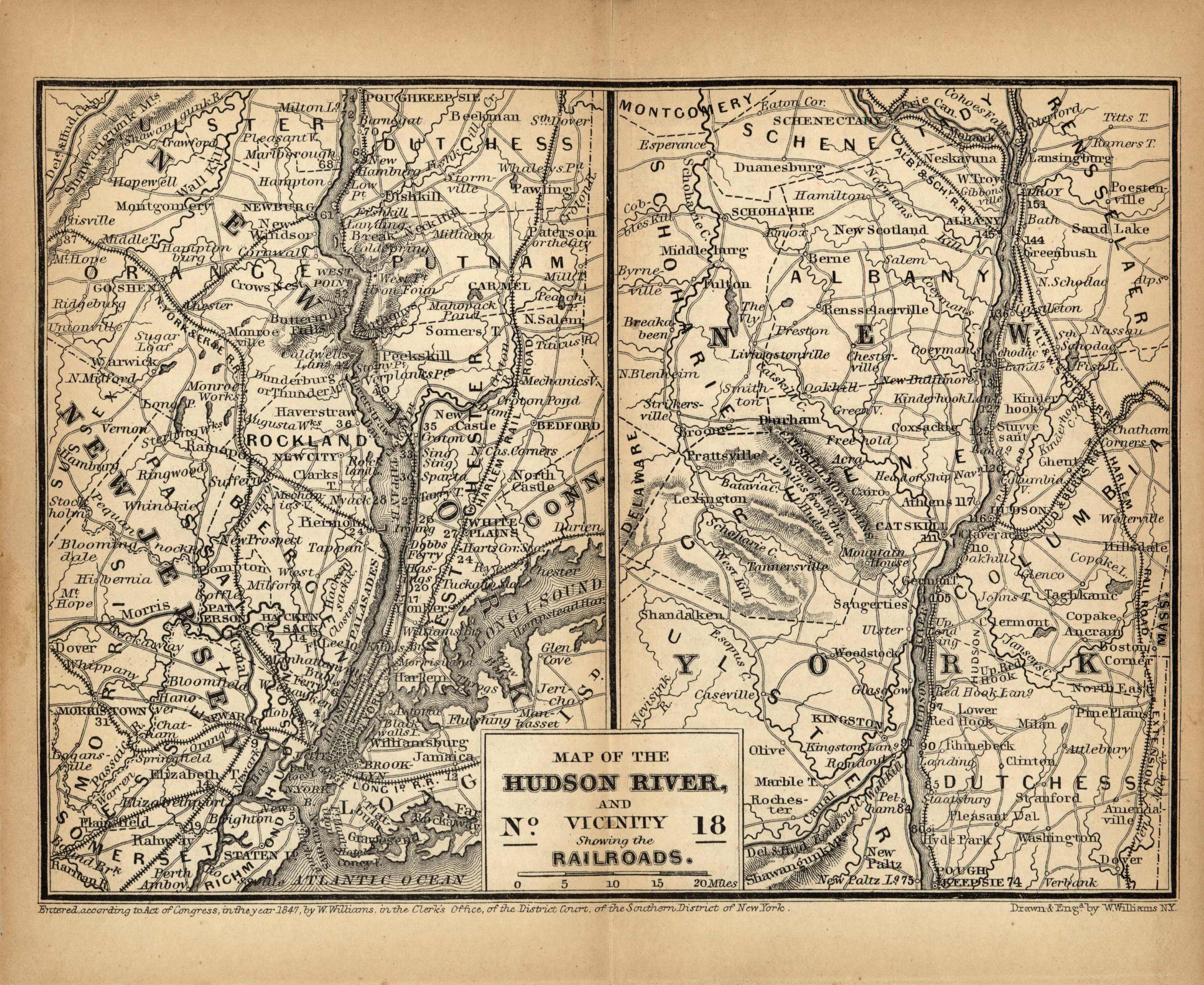
Map of the Hudson River, and Vicinity Showing the Railroads
Out of stock
Published in 1849 from Appletons Railroad and Steamboat Companion, Being a Travellers’ Guide through the United States of America, Canada, New Brunswick, and Nova Scotia by Wellington Williams. These smallmaps detail the areas through which the railroad routes pass, in the Northern, Middle and Eastern States. This map shows the Hudson River and vicinity, showing the railroads.
Size: 7 x 5 inches
Condition: Very Good
Map Maker: D. Appleton
Coloring: Black and White
Year: 1849
Condition: Very Good
Map Maker: D. Appleton
Coloring: Black and White
Year: 1849
Out of stock


