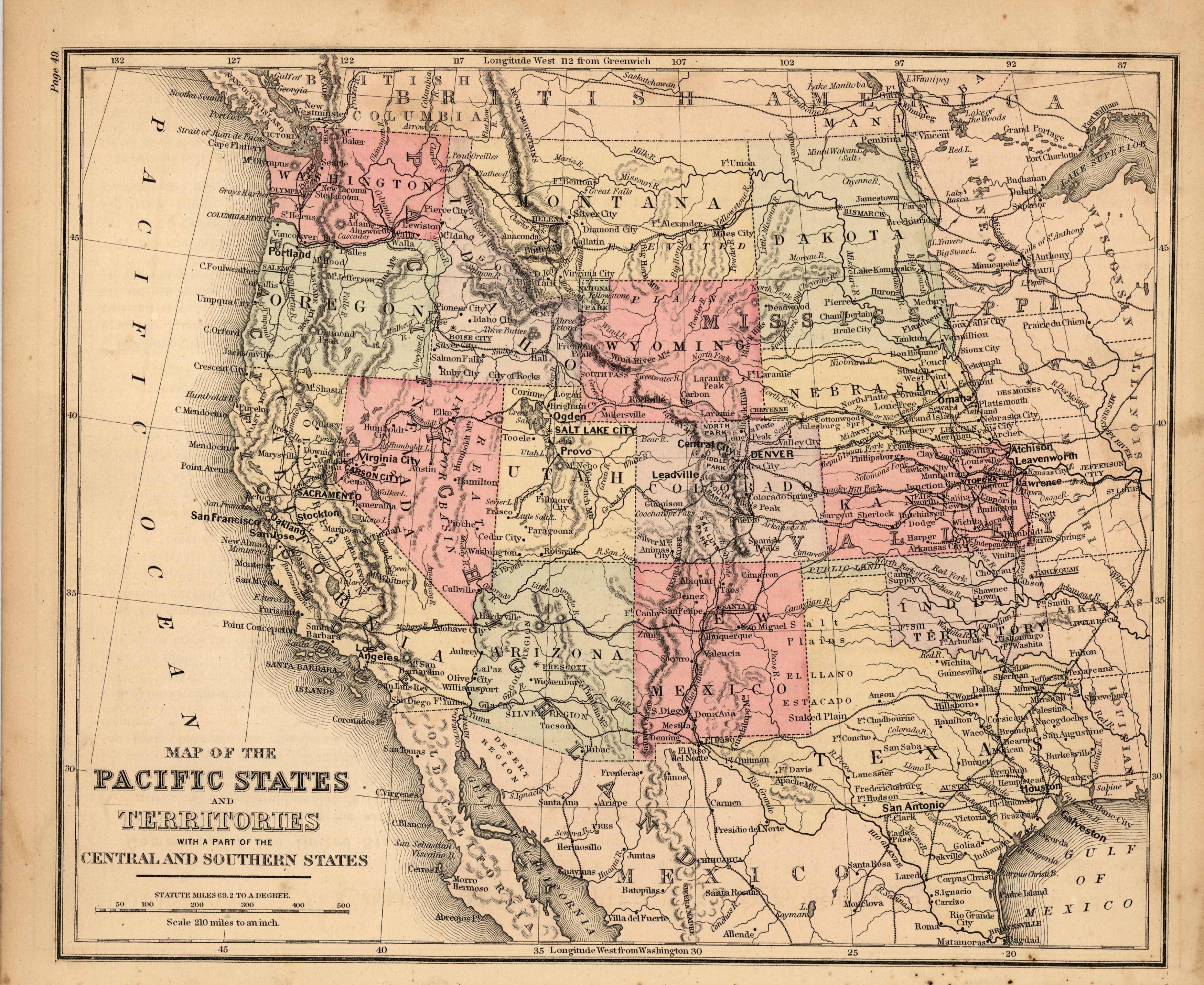
Map of the Pacific States and Territories with part of the Central and Southern States
Out of stock
This map is from Warrens Common-School Geography, printed in 1887. The Westernmost states of the United States are illustrated on this map. Washington,Oregon, Montana, Idaho, Wyoming, Colorado, New Mexico, Arizona, Nevada, Utah, and California are shown. Details include the names of states and important cities, rail lines,mountain ranges, major lakes, and rivers.
Size: 8.75 x 10.75 inches
Condition: Very Good- minor staining
Map Maker: Warren
Coloring: Original Hand Coloring
Year: 1887
Condition: Very Good- minor staining
Map Maker: Warren
Coloring: Original Hand Coloring
Year: 1887
Out of stock


