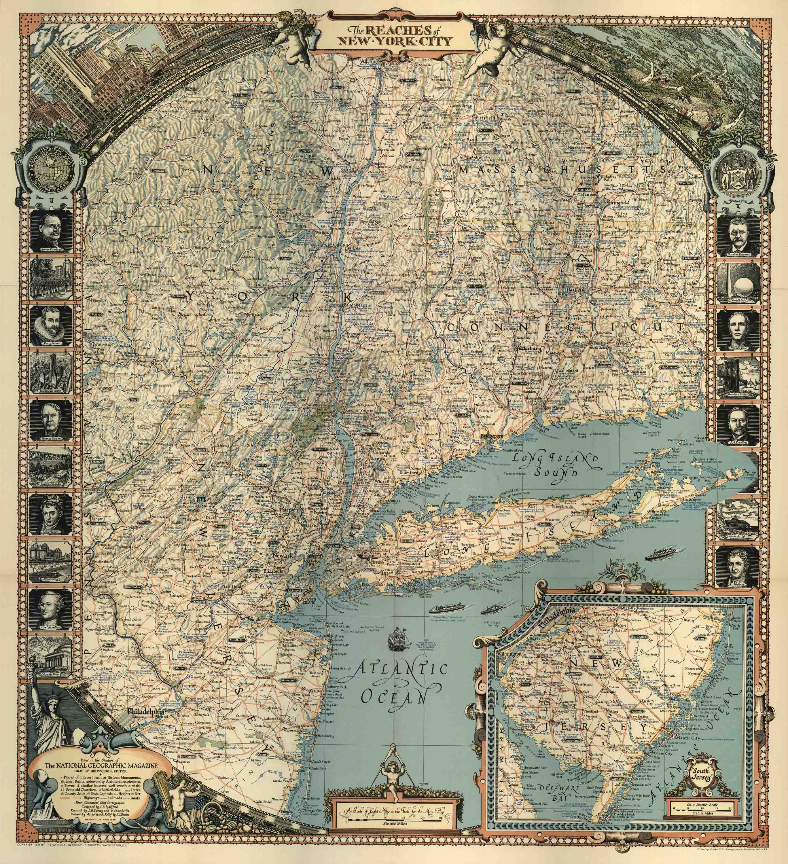
Map of the Reaches of New York City
Out of stock
This colorful 1939 National Geographic Society Map showcases the Reaches of New York City. It depicts Long Island, New Jersey, and parts of Massachusetts. Along the border, the map illustrates key figures and famous architecture from the region. The map
labels historic monuments, shrines, ruins, noteworthy architecture, towns of similar interest, old churches, battlefields, county seats, state capitals, highways, railroads, and canals. A great glimpse into the area during 1939!
Size: 26.5 x 29 inches
Condition: Very Good - some age toning
Map Maker: National Geographic Society
Coloring: Printed Color
Year: 1939
Condition: Very Good - some age toning
Map Maker: National Geographic Society
Coloring: Printed Color
Year: 1939
Out of stock


