- You cannot add another "Counties of Fayette, Effingham, Clay, and Marion, Illinois" to your cart. View cart
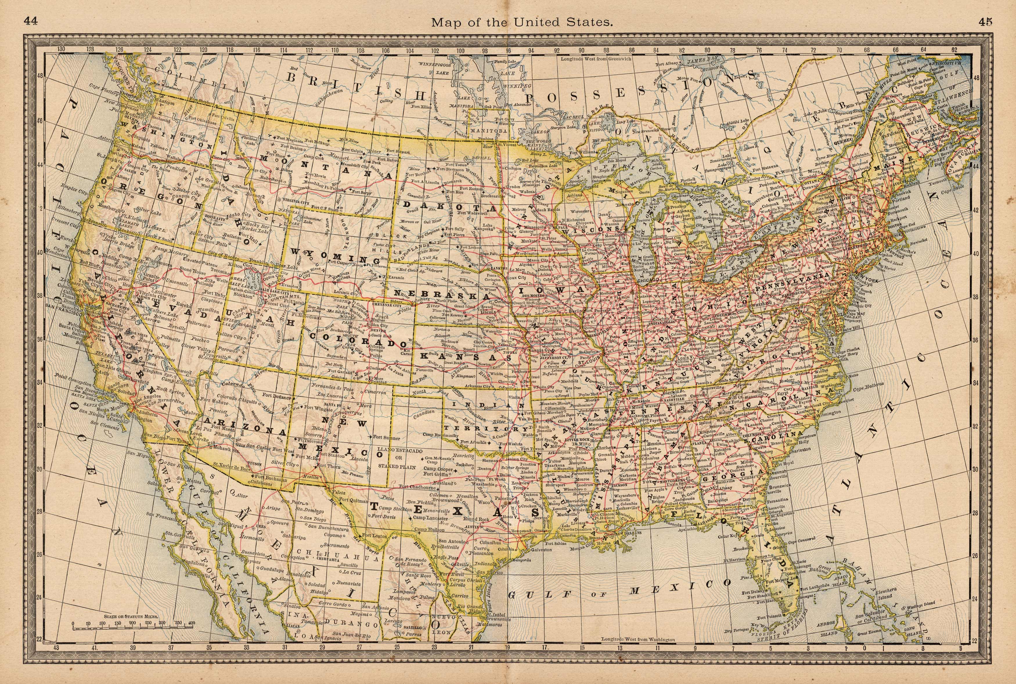
Map of the United States
Out of stock
This antique map of the United States originally appeared in the “Historical Hand-Atlas” produced in 1882 by H.H. Hardesty & Co. These maps show many details including states, cities and towns, lakes and rivers, and most important the existing railroad network.
Size: 19.5 x 13 inches
Condition: Very Good, light age toning and stains
Map Maker: H.H. Hardesty & Co.
Coloring: Lithographic Coloring
Year: 1882
Condition: Very Good, light age toning and stains
Map Maker: H.H. Hardesty & Co.
Coloring: Lithographic Coloring
Year: 1882
Out of stock


