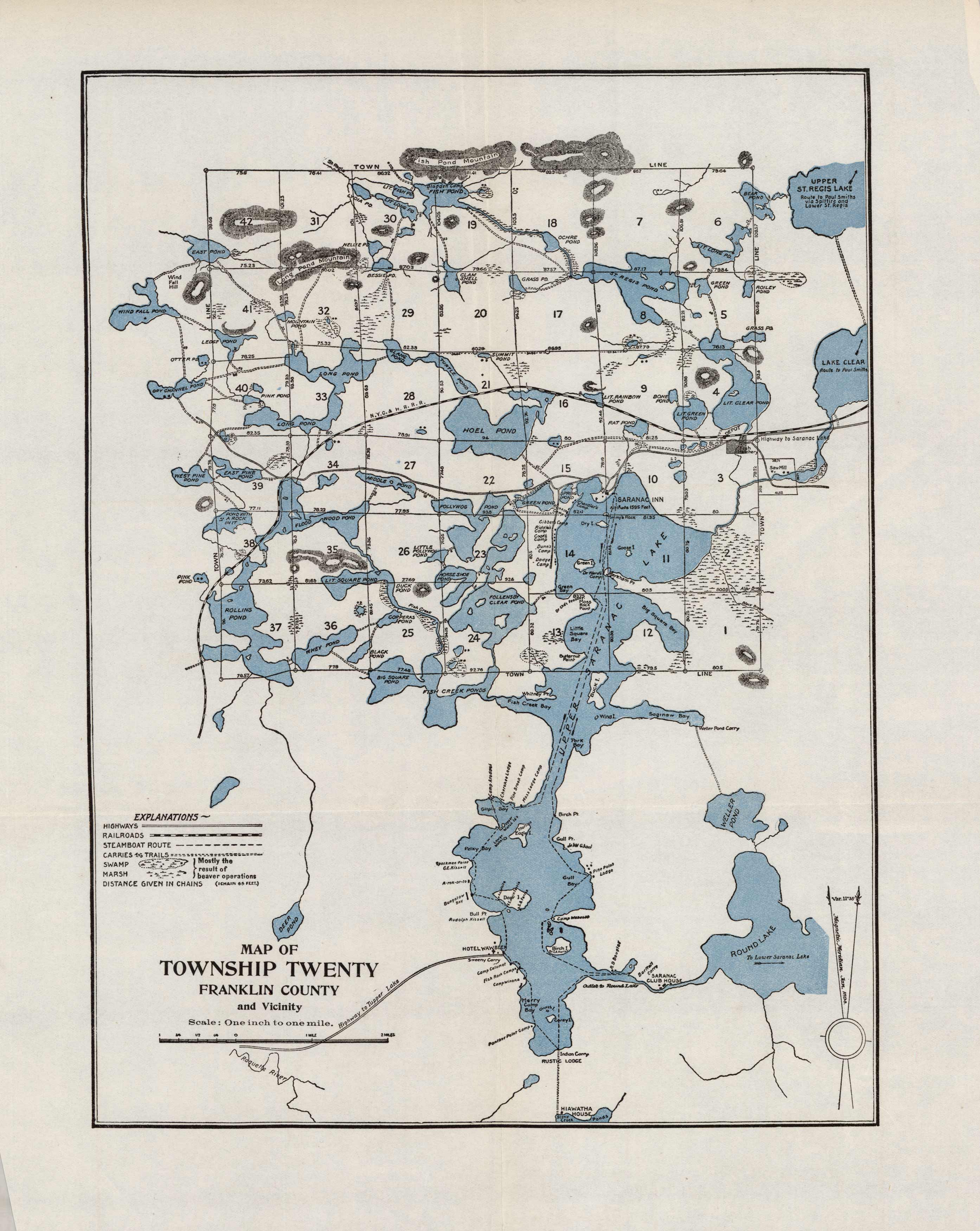
Map of Township Twenty Franklin County and Vicinity (New York)
Out of stock
This map of Franklin County details the Highway to Tupper Lake, railroads, steamboat routes, trails, swamps, marshes, ponds, lakes, and more. It shows numerous camp sites, hotels, and lodges throughout the area. It stretches as far north as Fish Pond Mountain and upper St. Regis Lake, as far east as Lake Clear, as far west as Wind Fall Pond, and as far south as the Stony Creek Ponds. Other bodies of water shown include the Hoel Pond, Deer Pond, Weller Pond, and Round Lake among others.
Size: 10 x 13.25 inches
Condition: Excellent
Map Maker: New York State Fisheries, Game, & Forest Commission
Coloring: Printed Color
Year: 1907
Condition: Excellent
Map Maker: New York State Fisheries, Game, & Forest Commission
Coloring: Printed Color
Year: 1907
Out of stock


