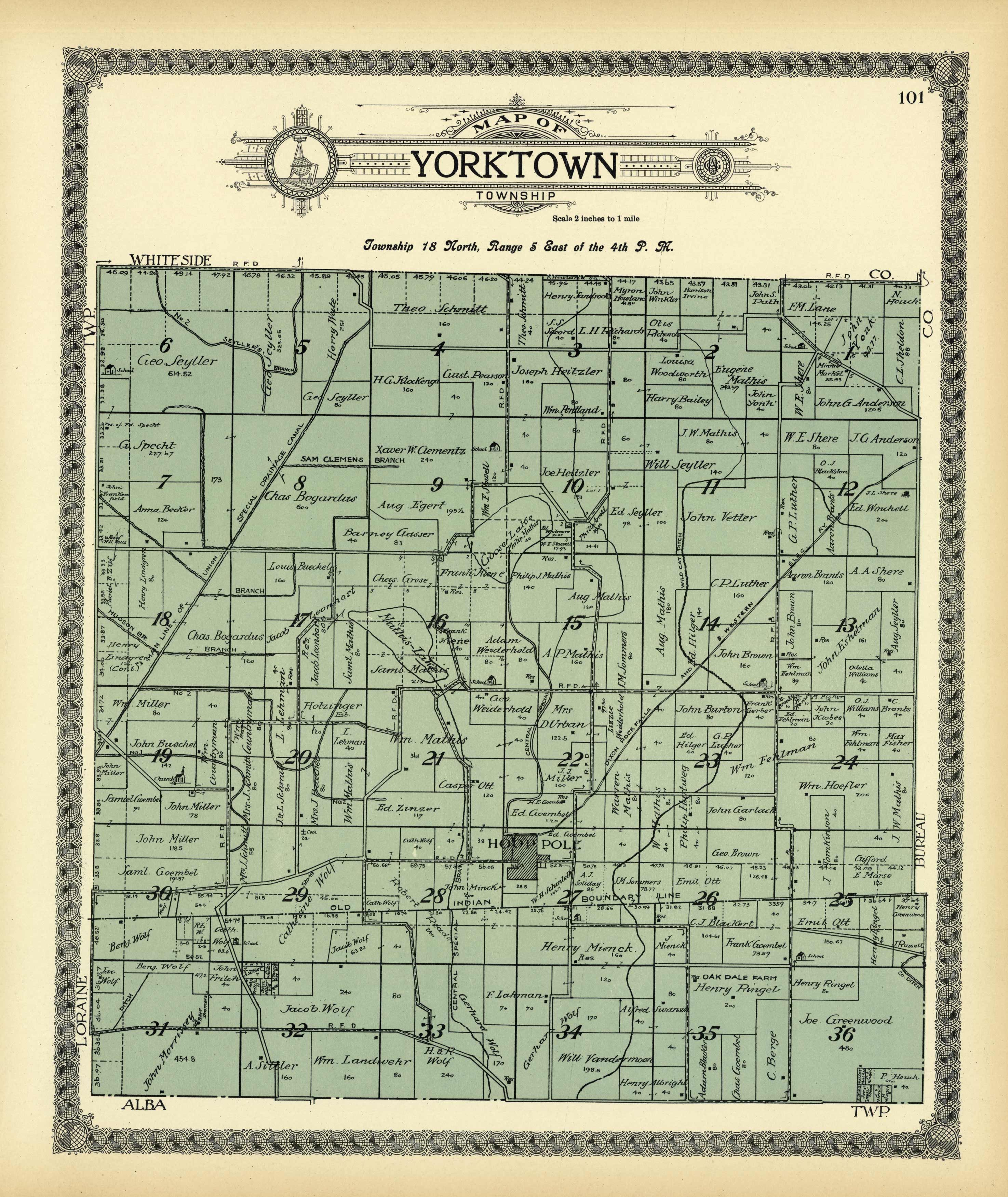
Map of Yorktown Township
In stock
This stunning map or illustration was published by Geo. A. Ogle & Co. in the “Standard Atlas of Henry County, Illinois” of 1911. Residents of Henry County will value these maps of their home from a time long ago. Detail of the area including land owners, rivers, rail lines, streets and major businesses are shown.
Size: 13.5 x 16.5 inches
Condition: Very Good
Map Maker: Geo. A. Ogle & Co., Chicago
Coloring: Printed Color
Year: 1911
Condition: Very Good
Map Maker: Geo. A. Ogle & Co., Chicago
Coloring: Printed Color
Year: 1911
In stock


