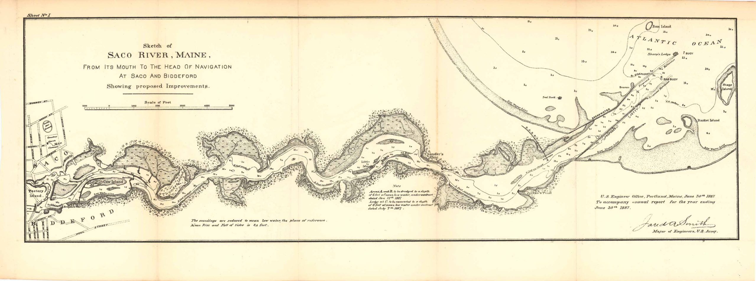
Map Sketch of the Saco River from its Mouth to the Head of Navigation, Maine 1887
Out of stock
Map Sketch of the Saco River from its Mouth to the Head of Navigation at Saco and Biddeford, Maine, showing proposed improvements. This map features a note, a note on soundings, as well as natural and man-made features such as Ram Island, Sharp’s Ledge, the Atlantic Ocean, Chandler’s Point, Cow Island, and the towns of Saco and Biddeford.
Size: 22.75 x 7.25 inches
Condition: Very good
Map Maker: U.S. Corps of Engineers
Original Production Year: 1887
Coloring: Black & White
Year: 1887
Condition: Very good
Map Maker: U.S. Corps of Engineers
Original Production Year: 1887
Coloring: Black & White
Year: 1887
Out of stock


