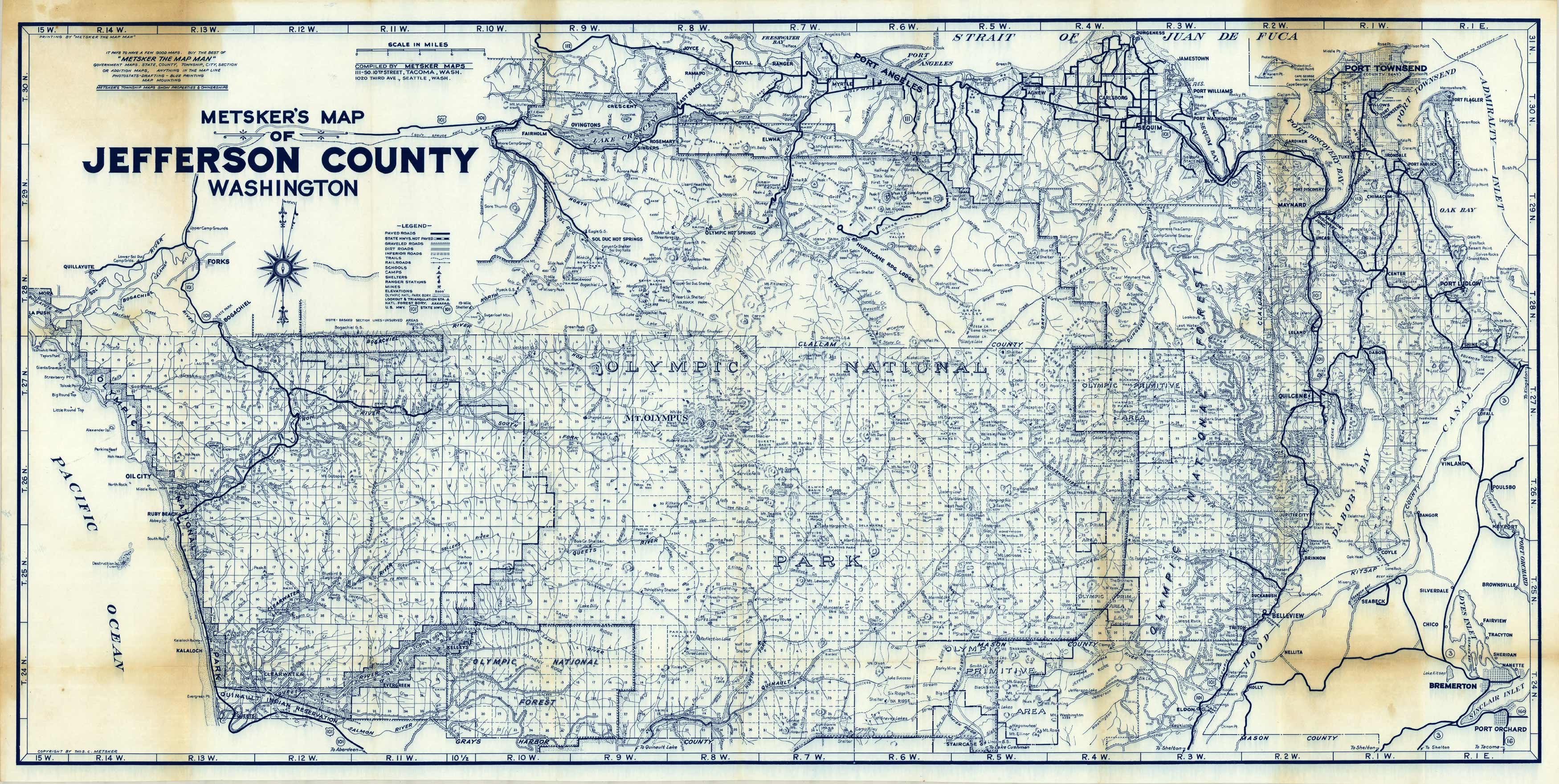
Metskers Map of Jefferson County, Washington’
In stock
Founded by Charles Metsker in the early twentieth century, the four generation long family of map publishing produced approximately 300 county atlases and 400 county wall maps between 1905s to 1985. The Metsker family concentrated on publishing maps of more rural and underdeveloped areas, and its often easy to find regions that may have faded away during the Northwest’s various booms and busts with a Metsker map. This map covers Jefferson county in Washington state. Details on this map indicate highways, roads, railroads, trails, camps, elevations, mountain shelters, ferry routes, state parks, and more. These map have great detail and a Metsker map is a great addition to any collection. This map comes in its original Metsker envelope.
Condition: Good, age toning and foxing
Map Maker: Charles F. Metsker
Coloring: Printed Color
Year: unknown
In stock


