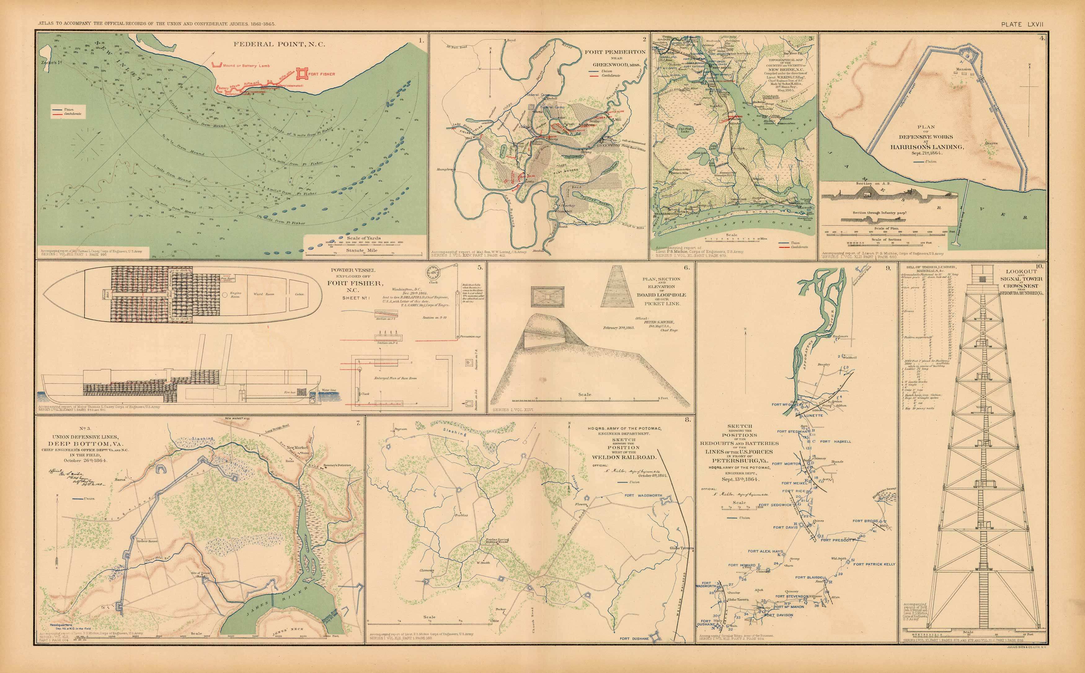
Civil War Atlas; Plate 67; Maps of Federal Point, N.C., Fort Pemberton, Harrisons Landing, Deep Bottom, Va.
In stock
This plate came from The Atlas to Accompany the Official Records of the Union and Confederate Armies. The Atlas was published between 1891 and 1895 and is the definitive source of Civil War information available. This Plate contains the following map(s). Plate LXVII1. Federal Point, N.C.;2. Fort Pemberton near Greenwood Miss.;3. Map of New Berne, N.C.;4. Plan of Defensive Works at Harrisons Landing;5. Powder Vessel Exploded off Fort Fisher, N.C.;6. Plan, Section and Elevation of Board Loophole;7. Union Defensive Lines, Deep Bottom, Va.;8. Sketch Showing the Position West of the Weldon Railroad;9. Sketch Showing Positions of Batteries and Lines of the U.S. Forces in Front of Petersburg, Va.;10. Lookout and Signal Tower at Crows Nest near Bermuda Hundred, Va.
Condition: Very Good
Map Maker: U.S. War Records Office
Coloring: Lithograph Color
Year: 1893
In stock


