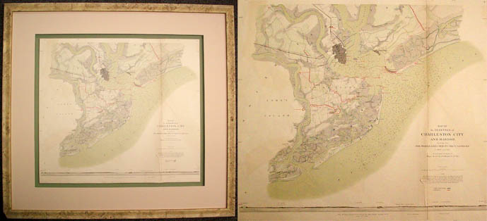
Map of the defences Charleston City and Harbor in 1863 and 1864
In stock
A map issued as part of the Official Records of the Union and Confederate Armies. This compilation of all Civil War battle maps was completed in 1891 and continues to be the definitive source of Civil War battle history. Stunning archival framing.
Size: 23 x 21 inches
Condition: Good with archival repair to tear
Map Maker: U.S. War Records Office
Coloring: Lithographed color
Year: 1891
Condition: Good with archival repair to tear
Map Maker: U.S. War Records Office
Coloring: Lithographed color
Year: 1891
In stock


