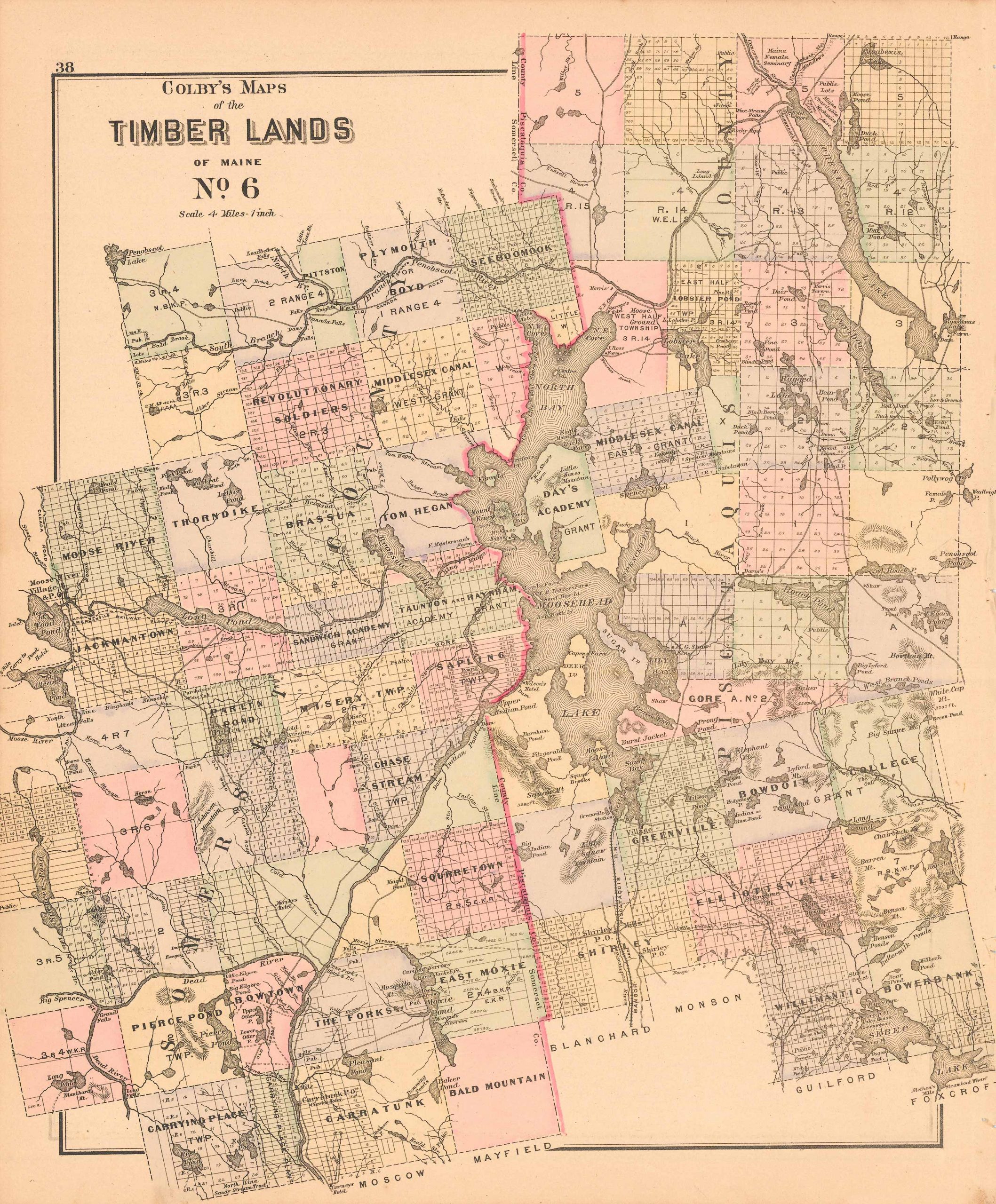
Colby’s 1884 Maps of the Timber Lands of Maine No.6′
Out of stock
This beautiful, original hand-colored map of the Timber Lands (in Somerset and Piscataquis Counties) came from the “Atlas of the State of Maine” produced by George N. Colby & Co. in 1884. Colbys atlas and the maps therein were produced in limited numbers for a short time, making city and county maps of Maine difficult to locate. This detailed map shows government land survey grids and color and identifies them by name or grant holder when available. Detailed tree-counts are also given where such quantities where known.
Size: 24 x 13 inches
Condition: Very Good
Map Maker: George N. Colby & Company
Coloring: Original Hand Coloring
Year: 1884
Condition: Very Good
Map Maker: George N. Colby & Company
Coloring: Original Hand Coloring
Year: 1884
Out of stock


