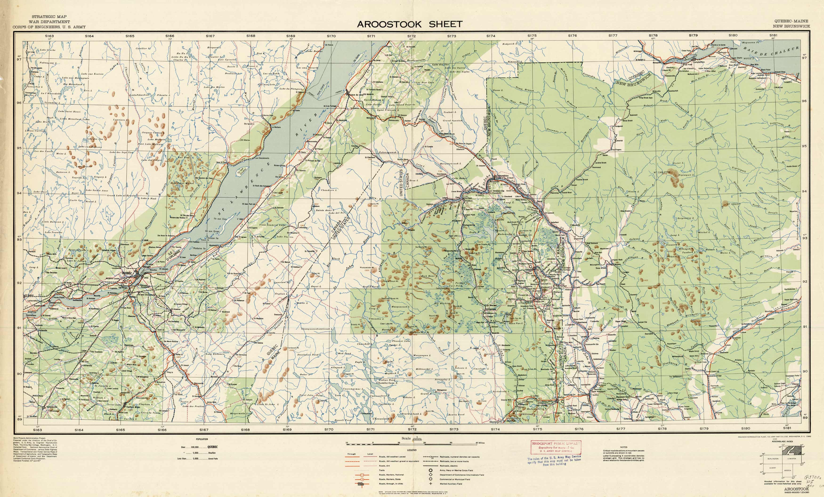
Aroostook Sheet
In stock
We are excited to offer a wonderful collection of World War II maps. Over the years we have had many requests for WWII material and here it is. These maps are very detailed showing boundaries (international, department or province, arrondissement, canton or commune), roads, cart tracks, foot paths, power cables, aerial railways, railways, tramways, narrow guage lines, windmills, windpumps, watermills, towers, chimneys, monuments, triginometrical points, forts, wireless stations, churches, belfries, chapels, calvaries, crosses, cemeteries, woods, orchards, vineyards, gardens, brushwoods, fields, rivers, canals, aqueducts, drainage channels, marshes, wells, springs, fountains, reservoirs, fords, ferries, hedges, sand dunes, quarries, and sand pits.
Condition: Good
Map Maker: Army Map Service, U.S. Army, U.S. Government
Coloring: Printed Color
Year: 1940
In stock


