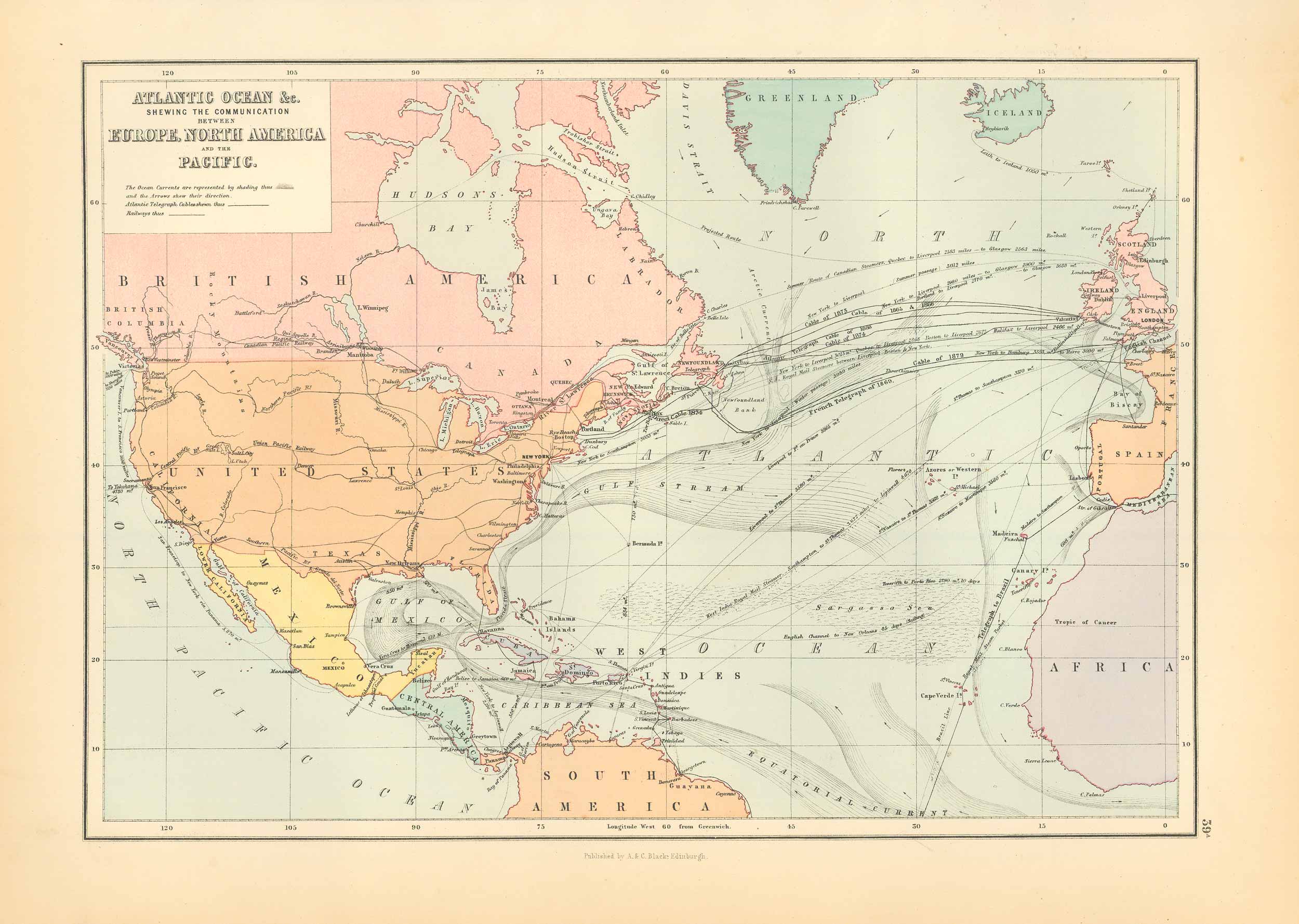
Atlantic Ocean & the Comunication Network Between Europe, North America, and the Pacific
In stock
This beautiful map of Atlantic Ocean was printed in Edinburgh by Adam and Charles Black for “Black’s General Atlas of the World,” published in 1885. Details include identification of regions, important cities, railroads, major roads, rivers, lakes, and mountains. This map is in excellent condition with bright, crisp color, and is printed on heavier paper stock then is customary on maps from this period.
Size: 15 x 11 inches
Condition: Very Good
Map Maker: Adam and Charles Black
Coloring: Printed Color
Year: 1885
Condition: Very Good
Map Maker: Adam and Charles Black
Coloring: Printed Color
Year: 1885
In stock


