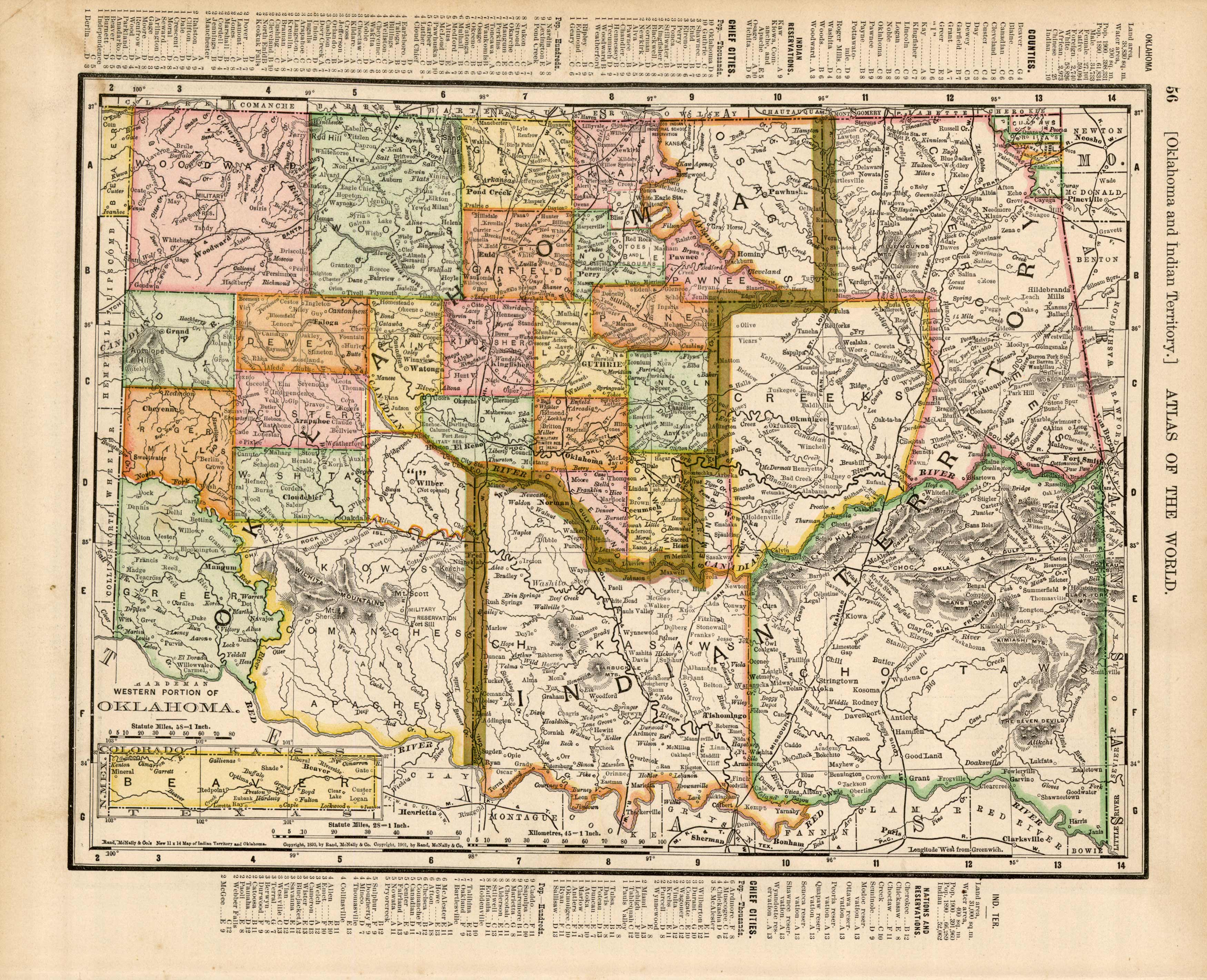
Oklahoma / Indian Territory
Out of stock
This detailed map was originally published in Rand, McNally & Co.s Universal Atlas of The World. From its beginnings as a small Chicago printing shop in 1856, Rand McNally & Company launched a 146-year continuing journey that has led the company to its place as the world’s premier provider of geographic and travel information. This colorful map was published at the turn of the century in 1902. This page shows us the relative heights of various buildings of the world by superimposing images over each other.
Size: 14 x 11 inches
Condition: Very Good
Map Maker: Rand, McNally & Co.
Coloring: Lithographic Coloring
Year: 1902
Condition: Very Good
Map Maker: Rand, McNally & Co.
Coloring: Lithographic Coloring
Year: 1902
Out of stock


