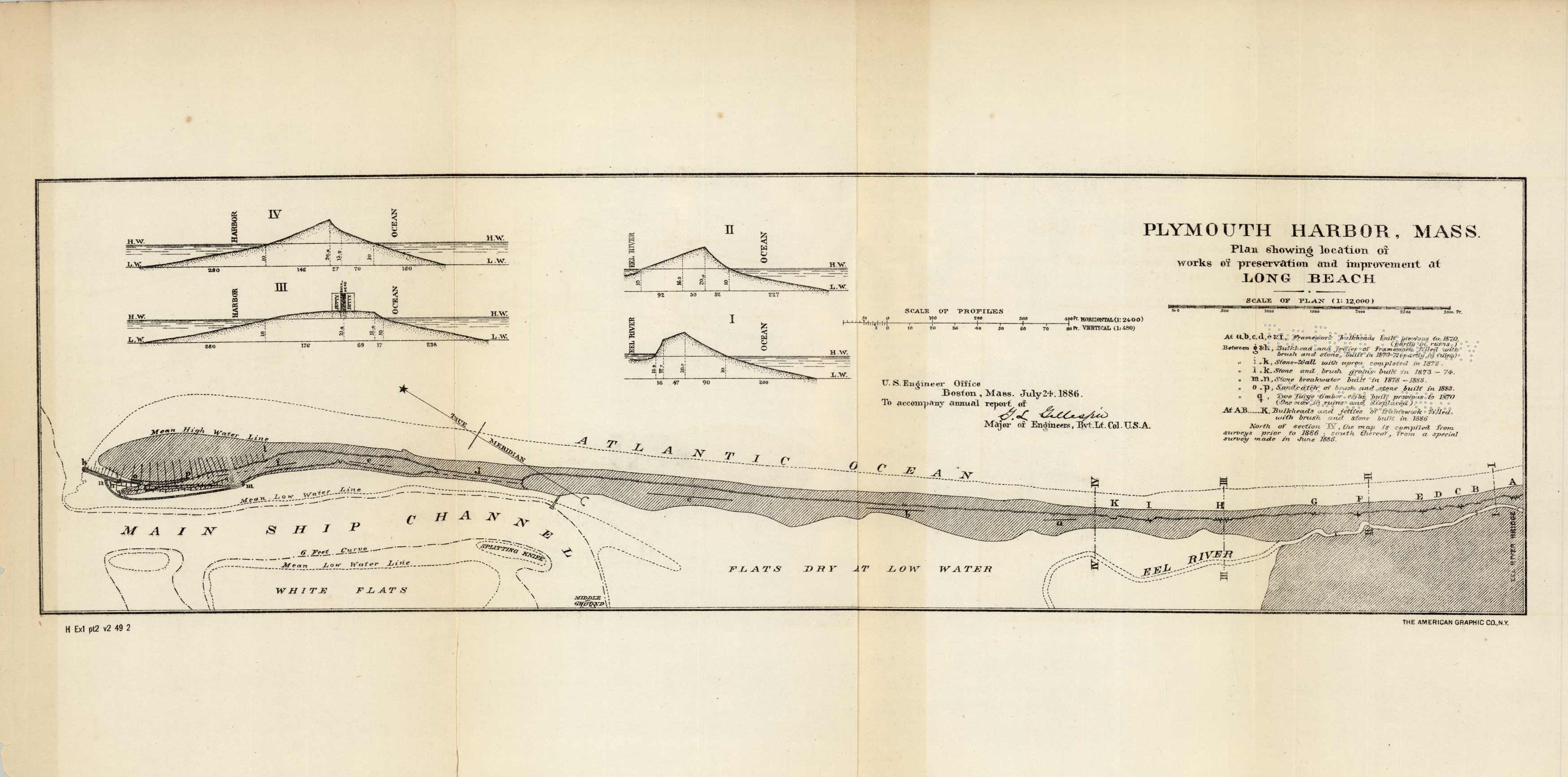
Plymouth Harbor, Mass. Plan showing the location of works of preservation and improvement at Long Beach
In stock
A special chart of Plymouth Harbor, MA, issued by Corps of Engineers, July 24th, 1886, to accompany annual report of G.L. Gillespie. This chart is centered on the harbor showing the main ship channel down to Eel River showing plan of works of preservation and improvement at Long Beach. This chart includes four sketches of the profile of the land between the harbor and ocean and from eel river to ocean; these illustrations indicate land height and water depths.
Size: 16.5 x 4.75 inches
Condition: Very Good, with Library stamp Free Library of Philadelphia
Map Maker: U.S. Corps of Engineers
Coloring: Black and White
Year: 1886
Condition: Very Good, with Library stamp Free Library of Philadelphia
Map Maker: U.S. Corps of Engineers
Coloring: Black and White
Year: 1886
In stock


