 |
||
Railroad Systems of the United States
Out of stock
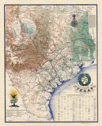
This map was made in Washington D.C. in 1898 by the Department of the Interior based on results of the eleventh census. The railroads systems throughout the United States are illustrated on this map. The developement of the system can be seen by the concentration of lines in the east and north-east parts of the counrty. The names of states and important cities are shown, as well as rivers and important lakes.
Size: 28 x 17.5 inches
Condition: Very Good
Map Maker: Department of the Interior
Coloring: Chromolithograph
Year: 1898
Condition: Very Good
Map Maker: Department of the Interior
Coloring: Chromolithograph
Year: 1898
Out of stock