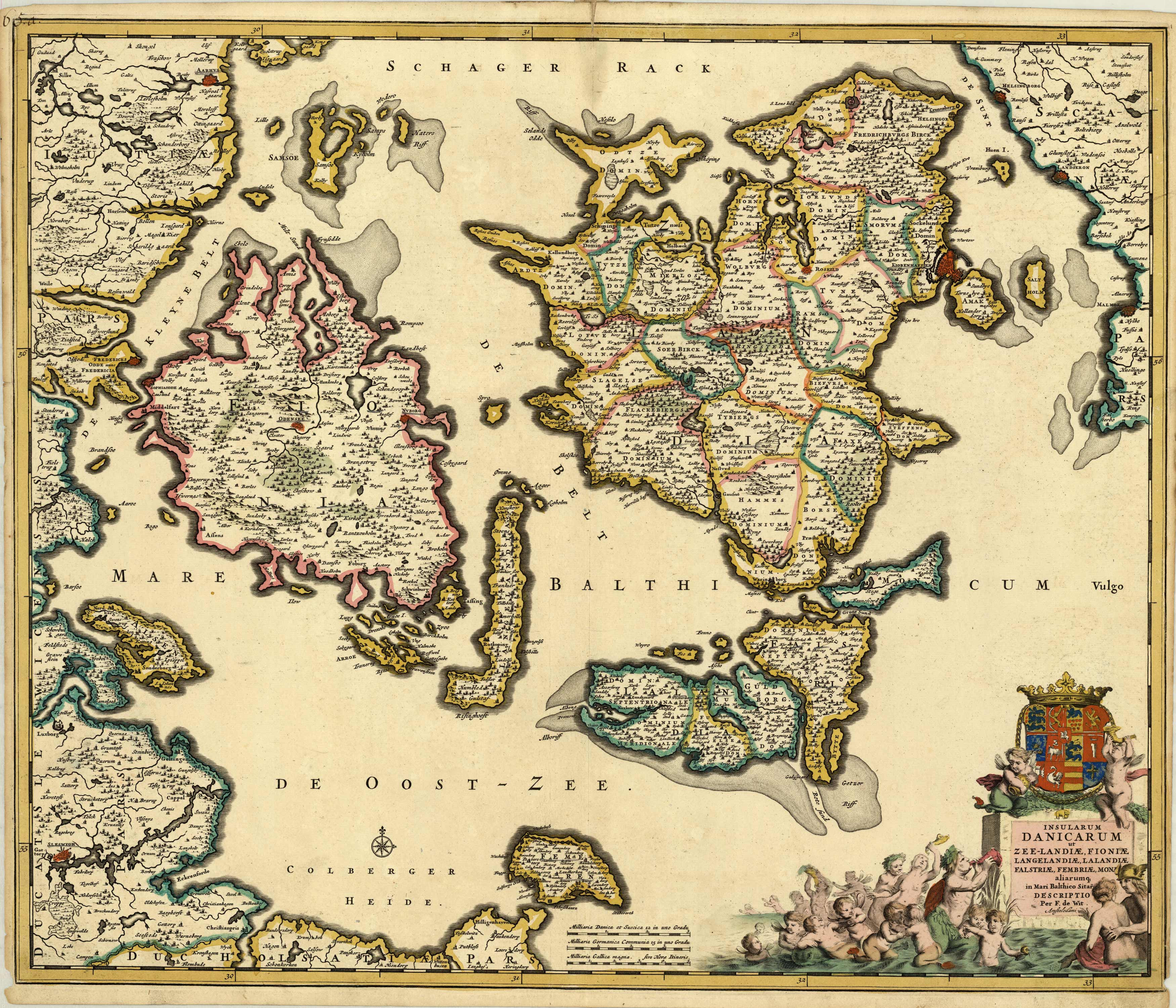
Insularum Danicarum ut Zee-Landiae, Fioniae, Langelandiae, Lalandiae Falstriae, Fembriae, Monae� [Denmark]
In stock
This beautifully engraved chart shows the main Danish islands plus the eastern coastline of Denmark and a little of Sweden. The map is filled with minute detail of fortresses, cities, towns and tiny villages. The superb cartouche features the royal coat of arms and a scene of merfolk frolicking in the sea.
Size: 22.5 x 19 inches
Condition: Very good with tight cut margins on both sides
Map Maker: Frederick de Wit
Coloring: Original Hand Coloring
Year: 1680
Condition: Very good with tight cut margins on both sides
Map Maker: Frederick de Wit
Coloring: Original Hand Coloring
Year: 1680
In stock


