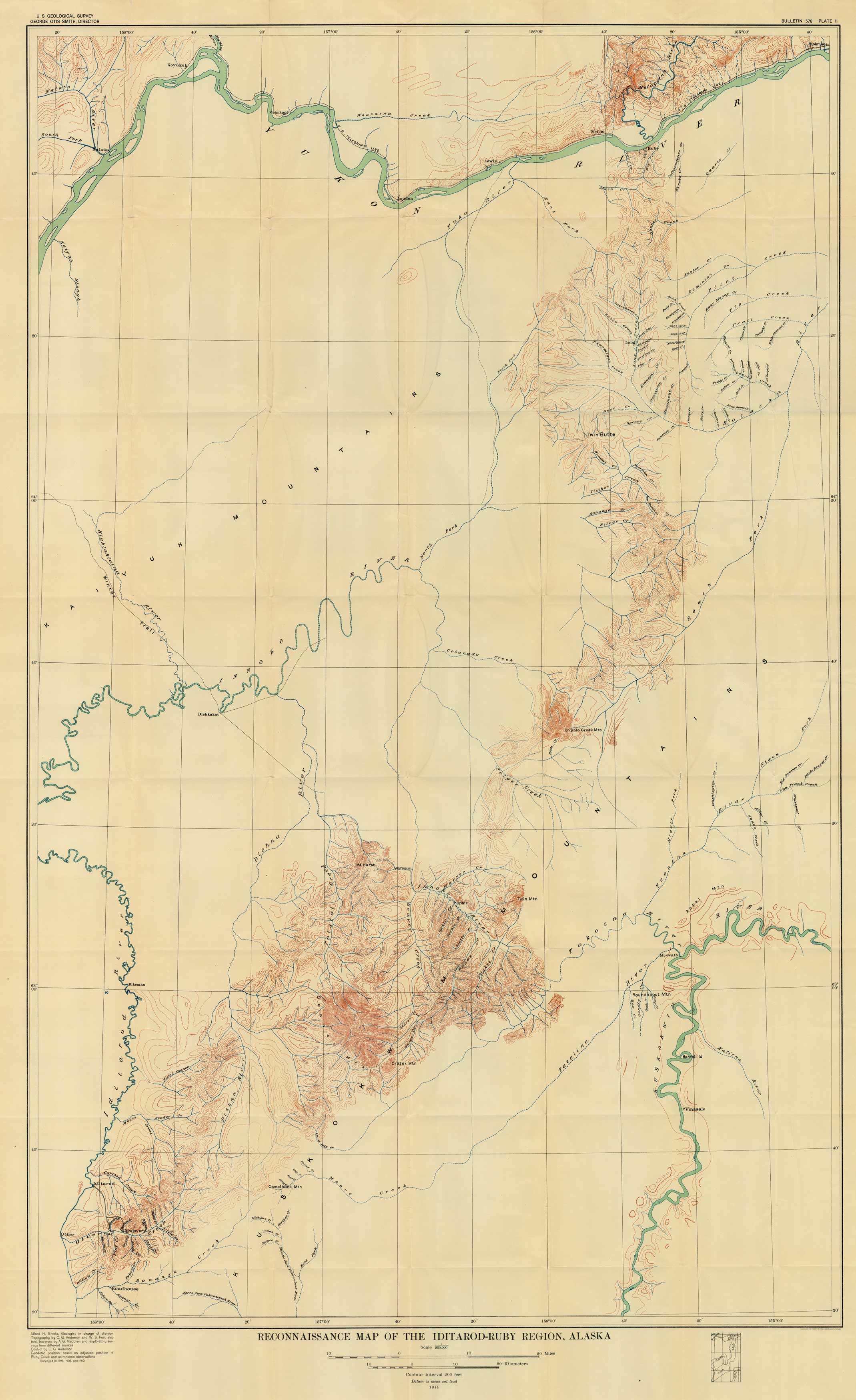
Reconnaissance Map of the Iditarod-Ruby Region, Alaska
Out of stock
This 1914 map from the United States Geological Survey shows the Iditarod-Ruby region in Alaska. The map depicts the area between the Iditarod and Kuskokwim Rivers south of the Yukon River.
Size: 29.5 x 49.5 inches
Condition: Good - some paper distress along folds
Map Maker: U.S. Geological Survey
Coloring: Printed Color
Year: 1914
Condition: Good - some paper distress along folds
Map Maker: U.S. Geological Survey
Coloring: Printed Color
Year: 1914
Out of stock


